


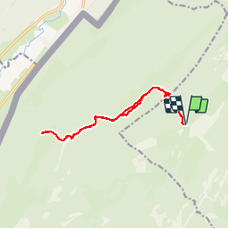

15.1 km | 21 km-effort

User


FREE GPS app for hiking
 SityTrail
IGN / Geographical institutes
SityTrail World
The world is yours!
Trail Walking of 14.5 km to be discovered at Vaud, District de Nyon, Bassins. This trail is proposed by tonymeyer.
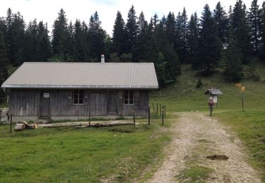
Départ point alt. 1263 m au virage de la Route de la Montagne avec la Combe des Ambournex.
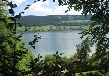
Attention aux moutons sur le chemin qui longe le bord nord du Creux, pas les effrayer.


Walking

Walking

Walking

Walking
On foot
On foot
Walking
Cycle
Mountain bike