


chefna_10_17

Mullender
User
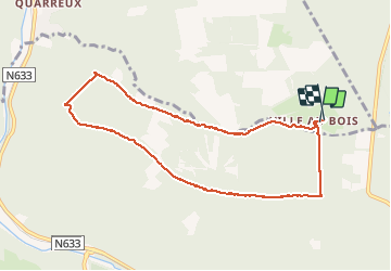

Length
8.2 km

Max alt
506 m

Uphill gradient
211 m
Km-Effort
11 km

Min alt
313 m

Downhill gradient
207 m
Boucle
Yes
Creation date :
2018-04-17 10:39:20.867
Updated on :
2018-04-17 10:39:20.867
1h52
Difficulty : Medium

FREE GPS app for hiking
 SityTrail
IGN / Geographical institutes
SityTrail Plus
The world is yours!
About
Trail Walking of 8.2 km to be discovered at Wallonia, Liège, Aywaille. This trail is proposed by Mullender.
Positioning
Country:
Belgium
Region :
Wallonia
Department/Province :
Liège
Municipality :
Aywaille
Location:
Sougné-Remouchamps
Start:(Dec)
Start:(UTM)
697688 ; 5590793 (31U) N.
Comments