16.8 km | 18.1 km-effort
Parc de Rentilly 19.4 km
GOELERANDO2
User
Length
19.4 km
Max alt
121 m
Uphill gradient
202 m
Km-Effort
22 km
Min alt
49 m
Downhill gradient
207 m
Boucle
Yes
Creation date :
2018-04-17 11:22:09.533
Updated on :
2018-04-17 11:22:09.533
4h50
Difficulty : Difficult
FREE GPS app for hiking
About
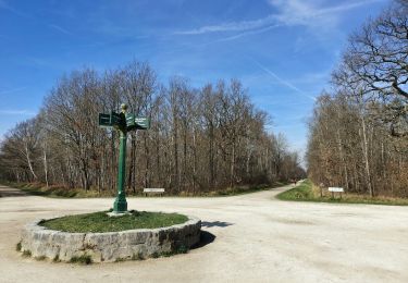
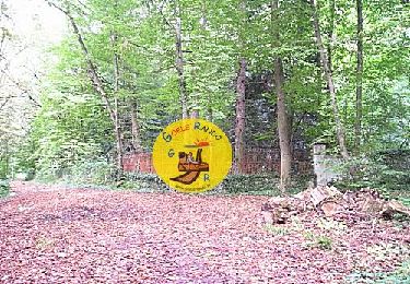
Trail Walking of 19.4 km to be discovered at Ile-de-France, Seine-et-Marne, Bussy-Saint-Martin. This trail is proposed by GOELERANDO2.
Description
Départ devant le château de Rentilly 77
Parking dans le parc
Positioning
Country:
France
Region :
Ile-de-France
Department/Province :
Seine-et-Marne
Municipality :
Bussy-Saint-Martin
Location:
Unknown
Start:(Dec)
Start:(UTM)
475995 ; 5410500 (31U) N.
Comments
Trails nearby
SM_DAMPMART-EST_8.1Km
Walking
Medium
(3)
Dampmart,
Ile-de-France,
Seine-et-Marne,
France
8.1 km | 9.5 km-effort
2h 9min
Yes
ASAM Dampmart La Dhuys
Walking
Easy
(1)
Dampmart,
Ile-de-France,
Seine-et-Marne,
France
4.5 km | 5.4 km-effort
1h 13min
Yes
Du Parc de Rentilly au Vallon de la Brosse
Walking
Medium
(4)
Saint-Thibault-des-Vignes,
Ile-de-France,
Seine-et-Marne,
France
9.8 km | 11.3 km-effort
2h 33min
Yes
Du Parc de Rentilly au Vallon de la Brosse
On foot
Very easy
(1)
Bussy-Saint-Georges,
Ile-de-France,
Seine-et-Marne,
France
5 km | 5.8 km-effort
1h 55min
Yes
Dampmart Grand Parcours
Walking
Easy
(1)
Dampmart,
Ile-de-France,
Seine-et-Marne,
France
19.5 km | 24 km-effort
5h 9min
Yes
Noisiel Grand parcours
Walking
Easy
(1)
Noisiel,
Ile-de-France,
Seine-et-Marne,
France
21 km | 23 km-effort
4h 50min
Yes
Vallée de la Brosse
Walking
Easy
(1)
Gouvernes,
Ile-de-France,
Seine-et-Marne,
France
7.9 km | 9 km-effort
1h 59min
No
Boucle Rentilly - Noisiel - Etang de la Brosse - Etang de la Loy
Walking
Very difficult
Bussy-Saint-Georges,
Ile-de-France,
Seine-et-Marne,
France
25 km | 29 km-effort
6h 32min
Yes