


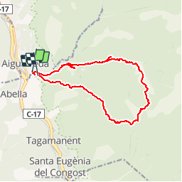


16.4 km | 26 km-effort

User


FREE GPS app for hiking
 SityTrail
IGN / Geographical institutes
SityTrail World
The world is yours!
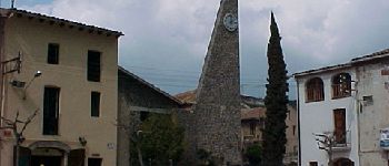
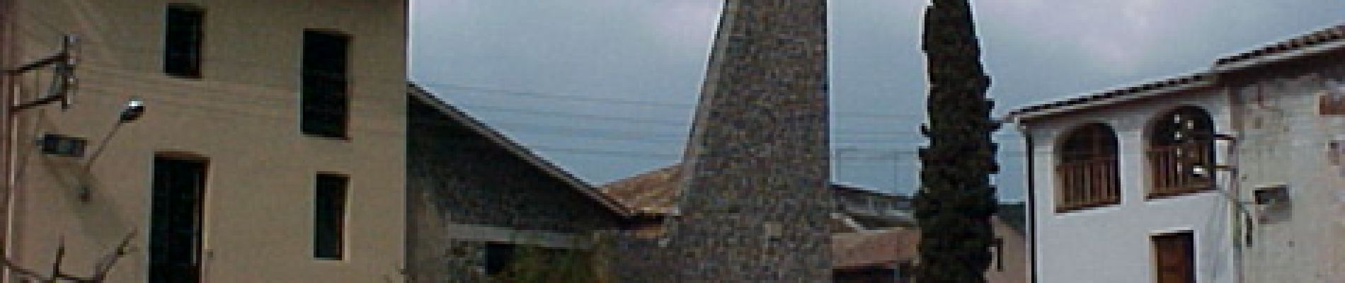
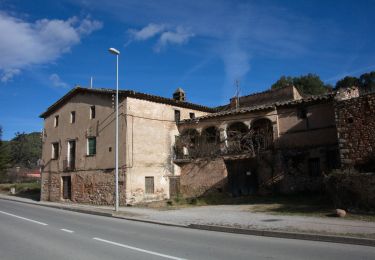
Trail Walking of 15.3 km to be discovered at Catalonia, Barcelona, Aiguafreda. This trail is proposed by dalbert.


On foot
On foot