


Ajoux (69)

Thomasdanielle
User
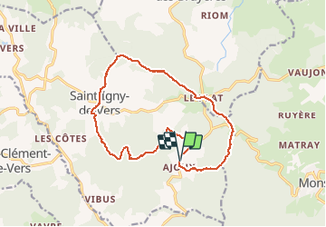

Length
16.6 km

Max alt
840 m

Uphill gradient
515 m
Km-Effort
23 km

Min alt
502 m

Downhill gradient
521 m
Boucle
Yes
Creation date :
2018-04-17 11:40:02.473
Updated on :
2018-04-17 11:40:02.473
4h55
Difficulty : Unknown

FREE GPS app for hiking
 SityTrail
IGN / Geographical institutes
SityTrail Plus
The world is yours!
About
Trail Walking of 16.6 km to be discovered at Auvergne-Rhône-Alpes, Rhône, Saint-Igny-de-Vers. This trail is proposed by Thomasdanielle.
Description
16 7 km D. 500 m
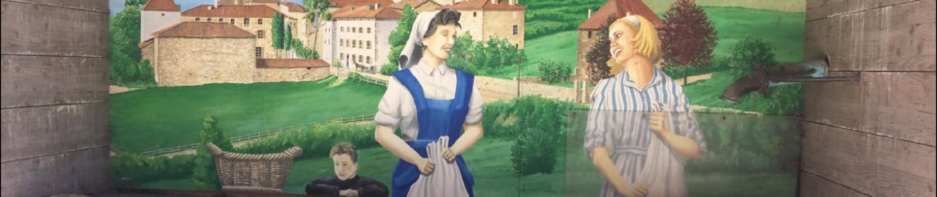
Photos
 - Photo 1")
 - Photo 2")
 - Photo 3")
Positioning
Country:
France
Region :
Auvergne-Rhône-Alpes
Department/Province :
Rhône
Municipality :
Saint-Igny-de-Vers
Location:
Unknown
Start:(Dec)
Start:(UTM)
613153 ; 5120157 (31T) N.
Comments