


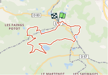

9.9 km | 13.1 km-effort


User


FREE GPS app for hiking
 SityTrail
IGN / Geographical institutes
SityTrail World
The world is yours!
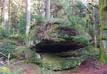
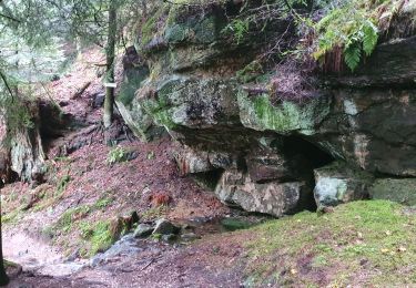
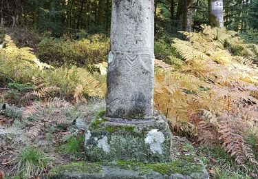
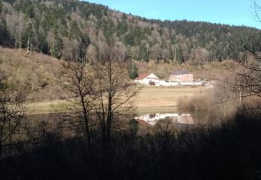
Trail Walking of 9.4 km to be discovered at Grand Est, Vosges, Rupt-sur-Moselle. This trail is proposed by lacote.
On foot

Mountain bike
Walking
Walking
On foot
Walking
Walking
Walking
Walking
anne70 vous l'avez parcouru moi c'est juste une préparation pour mo. groupe un mardi
même si certaines portions sont peu évidentes car chemin presque disparu, ce parcours est magnifique. merci !