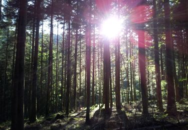
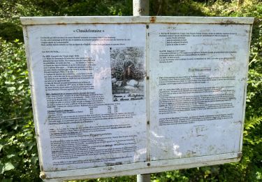
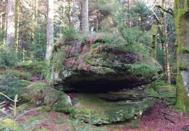
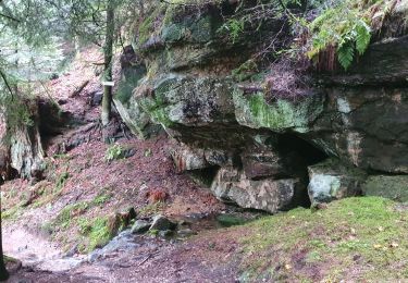
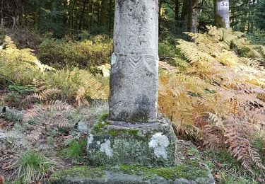
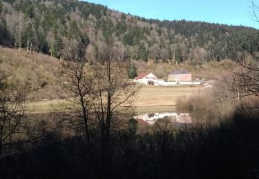
Trail Walking Rupt-sur-Moselle - 2017 11 07 Giraud fay - Photo

2017 11 07 Giraud fay

© OpenStreetMap contributors
Length
Length
12.9 km
Max alt
Max alt
815 m
Uphill gradient
Uphill gradient
442 m
Km-Effort
Km-Effort  
18.7 km
Min alt
Min alt
701 m
Downhill gradient
Downhill gradient
442 m
Boucle
Boucle
Yes
Creation date :
2018-04-17 12:26:06.202
Updated on :
2018-04-17 12:26:06.202

(0 Reviews)

Walking
Walking
2h55
Difficulty : Easy

Scan this QR Code to open this trail in the SityTrail application

FREE GPS app for hiking

Logo SityTrail SityTrail

IGN / Geographical institutes

Download SityTrail from the App Store Download SityTrail from Google Play

Logo SityTrail SityTrail World

The world is yours!

Download SityTrail from the App Store Download SityTrail from Google Play Download SityTrail on Huawei AppGallery

About

Trail Walking of 12.9 km to be discovered at Grand Est, Vosges, Rupt-sur-Moselle. This trail is proposed by michelbauby.

Elevation profile

Positioning

Country:
France
Region :
Grand Est
Department/Province :
Vosges
Municipality :
Rupt-sur-Moselle
Location:
Unknown
Start:(UTM)
320820 ; 5313055 (32T) N.

Trails nearby

Trail On foot Girmont-Val-d'Ajol - Les Étangs du Girmont - Photo
On foot
PRO

On foot

Easy
Girmont-Val-d'Ajol, Grand Est, Vosges, France
9.9 km | 13.1 km-effort
2h 59min
Yes
Trail Mountain bike Girmont-Val-d'Ajol - Rando de Che No 2013 - Photo
Mountain bike
osidarta

Mountain bike

Difficult
(1)
Girmont-Val-d'Ajol, Grand Est, Vosges, France
48 km | 63 km-effort
3h 59min
Yes
Trail Walking La Montagne - la montagne 70000  - Photo
Walking
francislassauce

Walking

Very difficult
La Montagne, Bourgogne-Franche-Comté, Haute-Saône, France
17.2 km | 23 km-effort
5h 3min
No
Trail Walking Vecoux - Chaudefontaine -grand lac- Chaudefontaine  - Photo
Walking
nicolasdresse

Walking

Difficult
Vecoux, Grand Est, Vosges, France
8.6 km | 13.4 km-effort
3h 2min
Yes
Trail On foot Girmont-Val-d'Ajol - La Beuille, sur la ligne de partage des eaux - Photo
On foot
PRO

On foot

Easy
(1)
Girmont-Val-d'Ajol, Grand Est, Vosges, France
8.7 km | 12.1 km-effort
2h 45min
Yes
Trail Walking Rupt-sur-Moselle - Vosges 2019 : réserve de Rupt-sur-Moselle.ori - Photo
Walking
PatDev

Walking

Medium
Rupt-sur-Moselle, Grand Est, Vosges, France
11.4 km | 17.7 km-effort
5h 13min
Yes
Trail Walking Saint-Étienne-lès-Remiremont - Le sentier des Pourdingues - Photo
Walking
viam19

Walking

Easy
Saint-Étienne-lès-Remiremont, Grand Est, Vosges, France
10.7 km | 15.3 km-effort
2h 25min
Yes
Trail Walking Remiremont - Remiremont - baraque des gardes - étang du Villerain - cascade du Géhart - étangs et prieuré d'Hérival  - Photo
Walking
Bart2015

Walking

Medium
Remiremont, Grand Est, Vosges, France
16.6 km | 23 km-effort
5h 19min
Yes
Trail Walking Girmont-Val-d'Ajol - 24-02-19 girmont - Photo
Walking
annefrance70

Walking

Medium
Girmont-Val-d'Ajol, Grand Est, Vosges, France
10.8 km | 15.4 km-effort
2h 35min
Yes


Close
My subscriptions