


Compostelle 47 - Isar -> Castrojeriz

uru2010
User
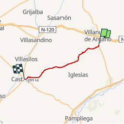

Length
24 km

Max alt
934 m

Uphill gradient
260 m
Km-Effort
28 km

Min alt
783 m

Downhill gradient
292 m
Boucle
No
Creation date :
2018-04-17 12:29:10.519
Updated on :
2018-04-17 12:29:10.519
5h29
Difficulty : Easy

FREE GPS app for hiking
 SityTrail
IGN / Geographical institutes
SityTrail Plus
The world is yours!
About
Trail Walking of 24 km to be discovered at Castile and León, Unknown, Isar. This trail is proposed by uru2010.
Description
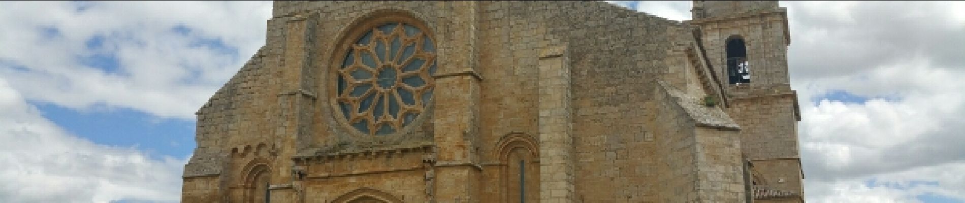
Chemin de Saint-Jacques de Compostelle
Isar -> Castrojeriz
Photos


Positioning
Country:
Spain
Region :
Castile and León
Department/Province :
Unknown
Municipality :
Isar
Location:
Unknown
Start:(Dec)
Start:(UTM)
423351 ; 4690418 (30T) N.
Comments