


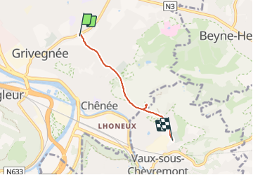
Grivegnée - Terril Basse Ransy Nord - Vaux-sous-chèvremont

pscheven
User ADMINGUIDE


45m
Difficulty : Very easy

FREE GPS app for hiking
 SityTrail
IGN / Geographical institutes
SityTrail Plus
The world is yours!
About
Trail Walking of 3.2 km to be discovered at Wallonia, Liège, Liège. This trail is proposed by pscheven.
Description
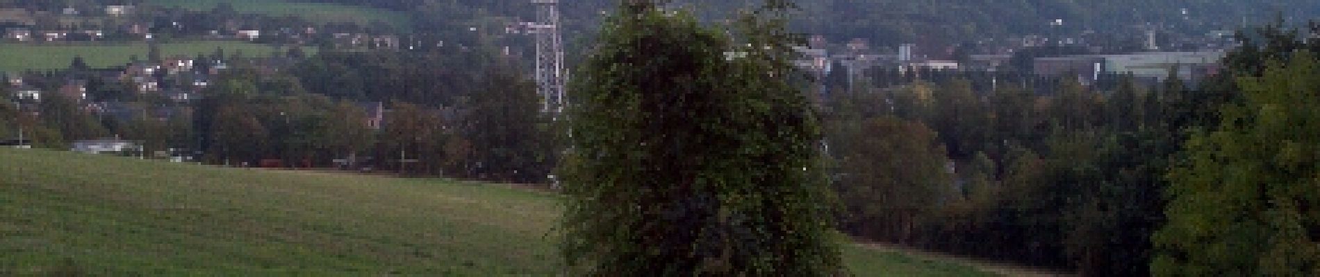
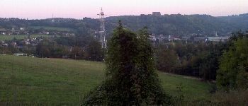
Balade principalement sur le R.A.V.E.L. (ancienne ligne 38) reliant Grivegnée à Vaux-sous-Chèvremont. Très accessible et à plat, à l'exception de la montée au sommet du Terril Basse Ransy Nord, où il y a un point de vue sur tous les environs.
Photos


Positioning
Comments