


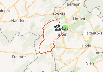


22 km | 28 km-effort


User


FREE GPS app for hiking
 SityTrail
IGN / Geographical institutes
SityTrail World
The world is yours!
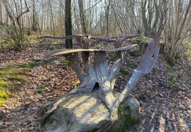
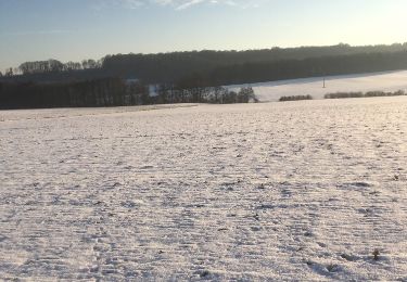
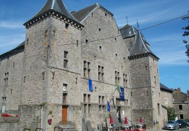
Trail Nordic walking of 10.4 km to be discovered at Wallonia, Liège, Anthisnes. This trail is proposed by Dome57.
Balade dans le Condroz


Walking

Walking

Walking

Walking
On foot
Walking

Mountain bike
Walking
On foot