


Champeix_St_Julien

jagarnier
User GUIDE
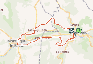


2h45
Difficulty : Easy

FREE GPS app for hiking
 SityTrail
IGN / Geographical institutes
SityTrail Plus
The world is yours!
About
Trail Walking of 9.1 km to be discovered at Auvergne-Rhône-Alpes, Puy-de-Dôme, Champeix. This trail is proposed by jagarnier.
Description
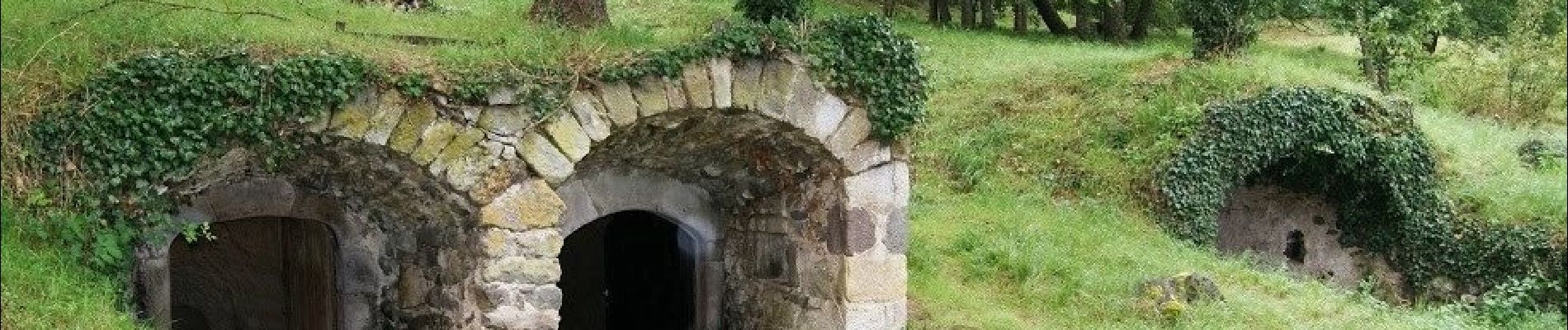
De Champeix, vous vous élèverez vers Saint-Julien. Le village garde le souvenir de la viticulture, attesté par son habitat et un original quartier des caves. Le retour dans Champeix se fait par le quartier du Marchidial, superbe site médiéval dominant la Couze.
Photos

Positioning
Comments
belle randonnée