


Buoux Rocher des Druides3

kephas
User
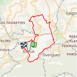

Length
17.2 km

Max alt
566 m

Uphill gradient
578 m
Km-Effort
25 km

Min alt
355 m

Downhill gradient
558 m
Boucle
Yes
Creation date :
2018-04-17 15:59:51.557
Updated on :
2018-04-17 15:59:51.557
5h18
Difficulty : Medium

FREE GPS app for hiking
 SityTrail
IGN / Geographical institutes
SityTrail Plus
The world is yours!
About
Trail Walking of 17.2 km to be discovered at Provence-Alpes-Côte d'Azur, Vaucluse, Buoux. This trail is proposed by kephas.
Description
Baume de L'eau
Rocher des Druides
Chapelle de la Santonne
Château de Buoux
Chapelle St Marie
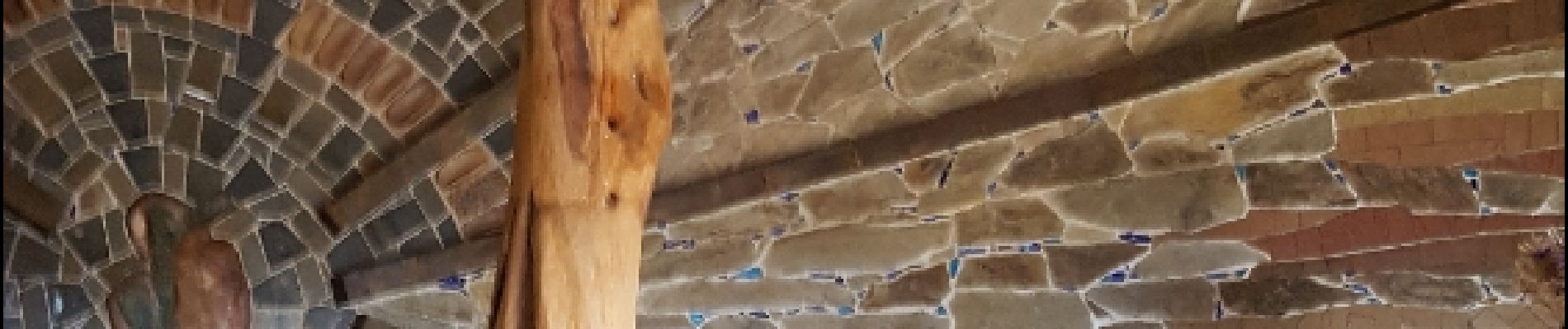
Photos


Positioning
Country:
France
Region :
Provence-Alpes-Côte d'Azur
Department/Province :
Vaucluse
Municipality :
Buoux
Location:
Unknown
Start:(Dec)
Start:(UTM)
691272 ; 4855902 (31T) N.
Comments