


9.6 km | 11.8 km-effort


User


FREE GPS app for hiking
 SityTrail
IGN / Geographical institutes
SityTrail World
The world is yours!
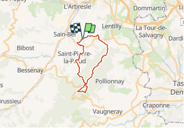
Trail Walking of 18.6 km to be discovered at Auvergne-Rhône-Alpes, Rhône, Sourcieux-les-Mines. This trail is proposed by Thomasdanielle.
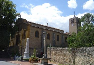
A/D Parking vers Eglise
18,5 km - D. 688
Pique-nique au col de la Luère après 8,5 km de marche (tables)
Walking

Walking
Walking
Walking

Walking

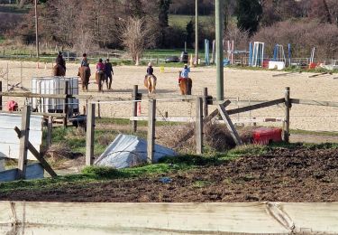
Horseback riding
Walking
Walking
Walking