R28 Le Col de Rabou

Camping Les Rives du Lac
Les Hautes Alpes à découvrir ! GUIDE+


3h52
Difficulty : Medium

FREE GPS app for hiking
 SityTrail
IGN / Geographical institutes
SityTrail Plus
The world is yours!
About
Trail Walking of 10.6 km to be discovered at Provence-Alpes-Côte d'Azur, Hautes-Alpes, Le Dévoluy. This trail is proposed by Camping Les Rives du Lac.
Description
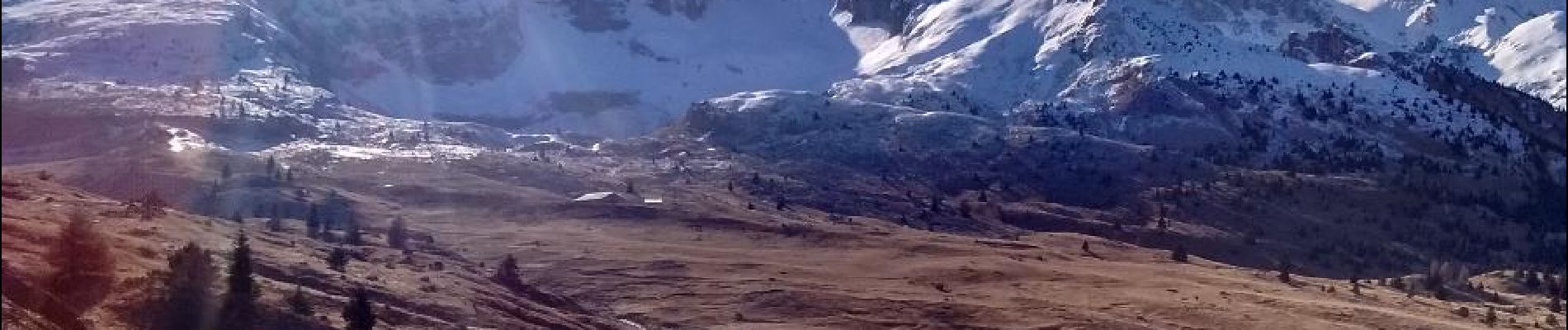
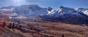
A nice hike which provides views on the valley. Be quiet and look around, bighorn sheeps are never far in this area !
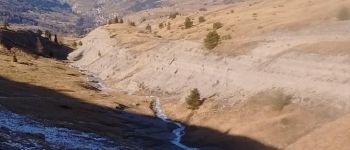
Photos


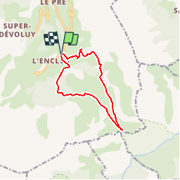
Positioning
Comments