


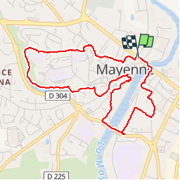


4.5 km | 5.5 km-effort

User


FREE GPS app for hiking
 SityTrail
IGN / Geographical institutes
SityTrail World
The world is yours!
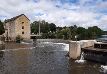
Trail Walking of 4.7 km to be discovered at Pays de la Loire, Mayenne, Mayenne. This trail is proposed by Axelloceane.
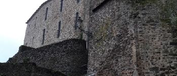
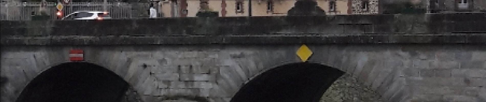
Découverte du plan d'eau et au détour des rues des principaux monuments de la ville.


Walking

Walking

Cycle

Walking
Bicycle tourism

Electric bike
Hybrid bike

Walking
Hybrid bike