


Circuit dans les rues de Mayenne

Axelloceane
User
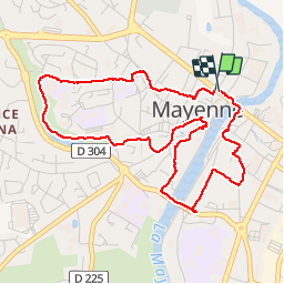

Length
4.7 km

Max alt
142 m

Uphill gradient
90 m
Km-Effort
5.9 km

Min alt
87 m

Downhill gradient
93 m
Boucle
Yes
Creation date :
2018-04-17 17:10:10.16
Updated on :
2018-04-17 17:10:10.16
1h16
Difficulty : Easy

FREE GPS app for hiking
 SityTrail
IGN / Geographical institutes
SityTrail Plus
The world is yours!
About
Trail Walking of 4.7 km to be discovered at Pays de la Loire, Mayenne, Mayenne. This trail is proposed by Axelloceane.
Description
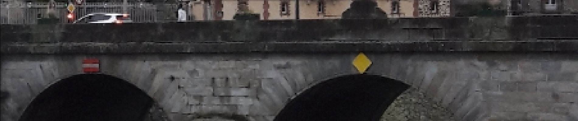
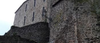
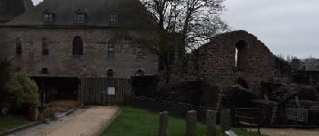
Découverte du plan d'eau et au détour des rues des principaux monuments de la ville.
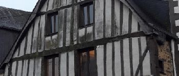
Photos


Points of interest


Positioning
Country:
France
Region :
Pays de la Loire
Department/Province :
Mayenne
Municipality :
Mayenne
Location:
Unknown
Start:(Dec)
Start:(UTM)
676732 ; 5352989 (30U) N.
Comments