


sentier au fil de l eau

boulinevelyne
User
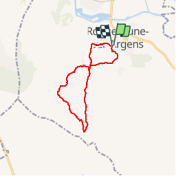

Length
12.1 km

Max alt
263 m

Uphill gradient
379 m
Km-Effort
17.1 km

Min alt
22 m

Downhill gradient
377 m
Boucle
Yes
Creation date :
2019-04-24 07:29:58.318
Updated on :
2019-04-24 07:29:58.48
3h20
Difficulty : Medium

FREE GPS app for hiking
 SityTrail
IGN / Geographical institutes
SityTrail Plus
The world is yours!
About
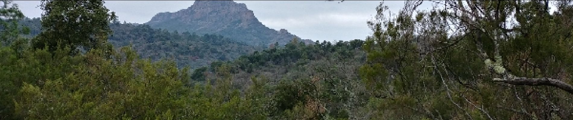
Trail Walking of 12.1 km to be discovered at Provence-Alpes-Côte d'Azur, Var, Roquebrune-sur-Argens. This trail is proposed by boulinevelyne.
Photos


Positioning
Country:
France
Region :
Provence-Alpes-Côte d'Azur
Department/Province :
Var
Municipality :
Roquebrune-sur-Argens
Location:
Unknown
Start:(Dec)
Start:(UTM)
308555 ; 4812430 (32T) N.
Comments
Très belle balade avec le son de l’eau qui coule.