


67 boucle Haberacker Haegen

LUTZMarc
User
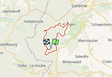

Length
23 km

Max alt
538 m

Uphill gradient
608 m
Km-Effort
31 km

Min alt
227 m

Downhill gradient
611 m
Boucle
Yes
Creation date :
2018-04-17 17:33:19.279
Updated on :
2018-04-17 17:33:19.279
4h39
Difficulty : Medium

FREE GPS app for hiking
 SityTrail
IGN / Geographical institutes
SityTrail Plus
The world is yours!
About
Trail Walking of 23 km to be discovered at Grand Est, Bas-Rhin, Reinhardsmunster. This trail is proposed by LUTZMarc.
Description
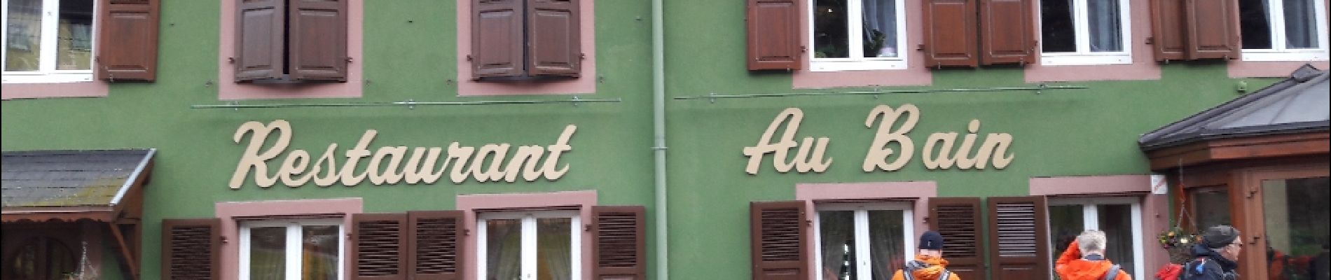
A 11,7 km Resto "Au Bain" à Haegen.
Photos


Positioning
Country:
France
Region :
Grand Est
Department/Province :
Bas-Rhin
Municipality :
Reinhardsmunster
Location:
Unknown
Start:(Dec)
Start:(UTM)
374901 ; 5393055 (32U) N.
Comments