Trail Snowshoes Abondance - Les Carres - les Ouyes - le Chon - la Plagne - les Ogays - les Carres - raq  - Photo

Les Carres - les Ouyes - le Chon - la Plagne - les Ogays - les Carres - raq

 boisacq
boisacq

User

© OpenStreetMap contributors
Length
Length
5.6 km
Max alt
Max alt
1287 m
Uphill gradient
Uphill gradient
351 m
Km-Effort
Km-Effort  
10.3 km
Min alt
Min alt
939 m
Downhill gradient
Downhill gradient
351 m
Boucle
Boucle
Yes
Creation date :
2018-04-17 17:40:45.797
Updated on :
2018-04-17 17:40:45.797

(0 Reviews)

Snowshoes
Snowshoes
2h52
Difficulty : Easy

Scan this QR Code to open this trail in the SityTrail application

FREE GPS app for hiking

Logo SityTrail SityTrail

IGN / Geographical institutes

Download SityTrail from the App Store Download SityTrail from Google Play

Logo SityTrail SityTrail World

The world is yours!

Download SityTrail from the App Store Download SityTrail from Google Play Download SityTrail on Huawei AppGallery

About

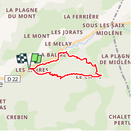
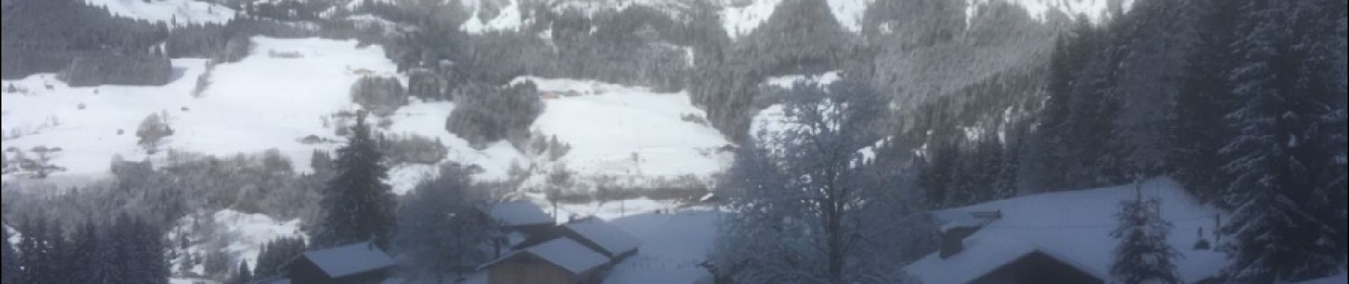
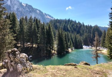
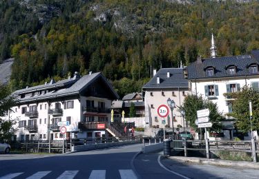
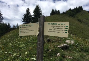
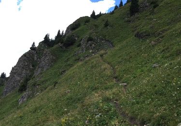
Trail Snowshoes of 5.6 km to be discovered at Auvergne-Rhône-Alpes, Upper Savoy, Abondance. This trail is proposed by boisacq.

Description

Cf Sentiers raquettes Vallée d'Abondance : Abondance Versant forestier

Elevation profile

Photos

Positioning

Country:
France
Region :
Auvergne-Rhône-Alpes
Department/Province :
Upper Savoy
Municipality :
Abondance
Location:
Unknown
Start:(UTM)
325570 ; 5128090 (32T) N.

Trails nearby

Trail Walking Abondance - Le Roc de Tavaneuse 2156 m, depuis Prétairié - Photo
Walking
tracegps

Walking

Medium
(1)
Abondance, Auvergne-Rhône-Alpes, Upper Savoy, France
8.2 km | 21 km-effort
5h 30min
Yes
Trail Walking Abondance - Le Mont de Grange, 2432m - Photo
Walking
tracegps

Walking

Difficult
(1)
Abondance, Auvergne-Rhône-Alpes, Upper Savoy, France
10.9 km | 25 km-effort
7h 0min
Yes
Trail Walking La Chapelle-d'Abondance - Les Cornettes de Bise par le sentier de Saix Rouquin - Photo
Walking
tracegps

Walking

Difficult
(1)
La Chapelle-d'Abondance, Auvergne-Rhône-Alpes, Upper Savoy, France
10 km | 25 km-effort
6h 30min
Yes
Trail Walking La Chapelle-d'Abondance - Cascade boucle 2 - Photo
Walking
Derrendinger

Walking

Difficult
(1)
La Chapelle-d'Abondance, Auvergne-Rhône-Alpes, Upper Savoy, France
10.1 km | 14.9 km-effort
3h 23min
Yes
Trail Walking Vacheresse - Tour du Mont Chauffé  - Photo
Walking
reneperrin

Walking

Medium
Vacheresse, Auvergne-Rhône-Alpes, Upper Savoy, France
12.7 km | 23 km-effort
5h 12min
Yes
Trail Walking Vacheresse - Ubine, col d'Ubine, col des Mosses, chalets de Bise, lac de Fontaine - Photo
Walking
reneperrin

Walking

Medium
Vacheresse, Auvergne-Rhône-Alpes, Upper Savoy, France
8.6 km | 15.6 km-effort
6h 13min
No
Trail On foot Abondance - Itineraire des bords de Dranse - Photo
On foot
PRO

On foot

Easy
Abondance, Auvergne-Rhône-Alpes, Upper Savoy, France
3.6 km | 4.4 km-effort
59min
No
Trail Walking La Chapelle-d'Abondance - Cheyenne - Mens - Col d'Ubine - Photo
Walking
boisacq

Walking

Very easy
La Chapelle-d'Abondance, Auvergne-Rhône-Alpes, Upper Savoy, France
6.9 km | 13.2 km-effort
3h 0min
Yes
Trail Other activity La Chapelle-d'Abondance - chapelle d abondance Trebentaz chapelle d abondance - Photo
Other activity
patricee2p

Other activity

Difficult
La Chapelle-d'Abondance, Auvergne-Rhône-Alpes, Upper Savoy, France
13.9 km | 28 km-effort
4h 51min
Yes


Close
My subscriptions