


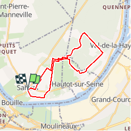

11 km | 12.2 km-effort


User


FREE GPS app for hiking
 SityTrail
IGN / Geographical institutes
SityTrail World
The world is yours!
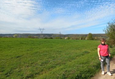
Trail Walking of 12.6 km to be discovered at Normandy, Seine-Maritime, Sahurs. This trail is proposed by philippe76.
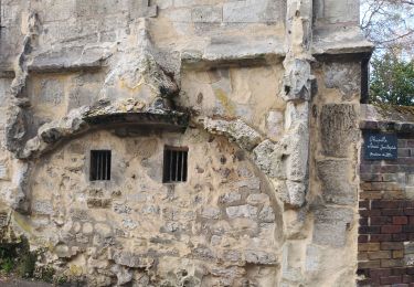
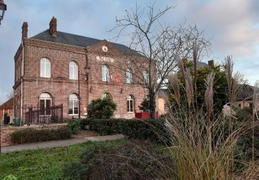
Départ à Sahurs près du Restaurant "Le Clos des Roses".Prendre AG la rue de Marbeuf et passer devant le Manoir de Marbeuf. TD rue de Seine, traverser la D51 et TD l'allée du Canada. TD jusqu'à ALT 54, AD puis AG Alt 53, TD à l'antenne vers le Rouage, AG rue du Mont Mire, TD ALT 34, AG au cimetière rte du val de la Haye à Quevillon. AG à la Cavée du May, longer la côte et AD à l'Alt 57 et AD puis AG à l'antenne et reprendre le même chemin qu'à l'aller. AD vers Le Canada, passer Le Moulin Puis AD sur la D51 et arrivée au PKG.
Walking
Walking

Walking

On foot
Walking
Walking
Walking

Walking
Walking
assez bien