


Chanonat_Le_Crest

jagarnier
User GUIDE
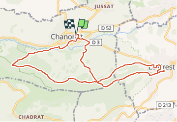


3h30
Difficulty : Medium

FREE GPS app for hiking
 SityTrail
IGN / Geographical institutes
SityTrail Plus
The world is yours!
About
Trail Walking of 11.4 km to be discovered at Auvergne-Rhône-Alpes, Puy-de-Dôme, Chanonat. This trail is proposed by jagarnier.
Description
Au départ de Chanonat, le long de l'Auzon, vous pourrez admirer le château de la Batisse.
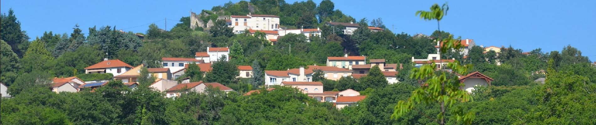
Les maisons vigneronnes se succèdent dans les petites rues escarpées du Crest. Dominé par une tour, ce village offre un vaste panorama sur le plateau de Gergovie, la vallée de l'Allier, le Livradois, le Sancy et la chaîne des Puys.
Photos

Positioning
Comments