


2018-02-13 Vallon de Combau

meunier.ph.
User
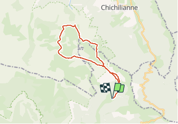


4h16
Difficulty : Easy

FREE GPS app for hiking
 SityTrail
IGN / Geographical institutes
SityTrail Plus
The world is yours!
About
Trail Snowshoes of 13.7 km to be discovered at Auvergne-Rhône-Alpes, Drôme, Châtillon-en-Diois. This trail is proposed by meunier.ph..
Description
Très belle rando en raquettes pour cette journée ensoleillée mais froide en raison du vent. Sans doute le plus beau belvédère sur le Mont Aiguille depuis le haut plateau du Vercors. Belle ambiance aussi dans les champs de neige de ce haut plateau au retour.
Photos


Positioning
Comments