


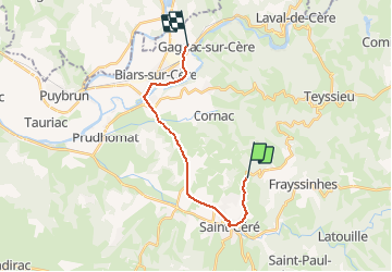

13.3 km | 19.3 km-effort


User


FREE GPS app for hiking
 SityTrail
IGN / Geographical institutes
SityTrail World
The world is yours!
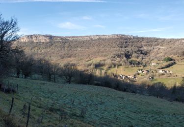
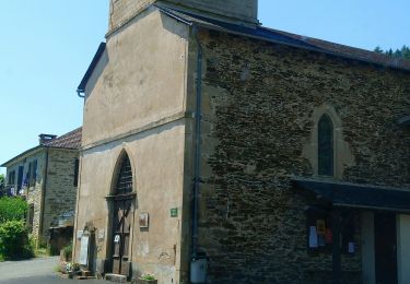
Trail Cycle of 15.8 km to be discovered at Occitania, Lot, Saint-Laurent-les-Tours. This trail is proposed by alain46.
Saint Laurent les Tous
Gagnac sur Cère

On foot

On foot
On foot
On foot
On foot
Walking
Walking
Walking
Walking