


LP80_FOREST-L'ABBAYE_7.9Km

BAIE de SOMME & alentours
Autour de la Baie à pieds
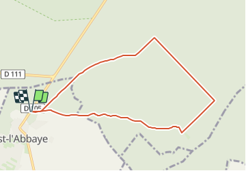

Length
7.9 km

Max alt
81 m

Uphill gradient
66 m
Km-Effort
8.8 km

Min alt
51 m

Downhill gradient
66 m
Boucle
Yes
Creation date :
2019-03-04 12:59:15.507
Updated on :
2023-10-03 18:59:18.628
1h56
Difficulty : Medium

FREE GPS app for hiking
 SityTrail
IGN / Geographical institutes
SityTrail Plus
The world is yours!
About
Trail Walking of 7.9 km to be discovered at Hauts-de-France, Somme, Forest-l'Abbaye. This trail is proposed by BAIE de SOMME & alentours.
Description
Départ-Arrivée
Parking Chemin des trois Mares
https://goo.gl/maps/2zRdmNBrMmJ2
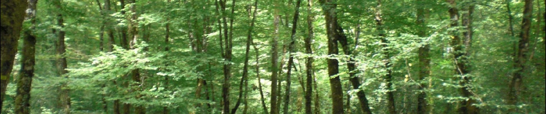
Photos

Positioning
Country:
France
Region :
Hauts-de-France
Department/Province :
Somme
Municipality :
Forest-l'Abbaye
Location:
Unknown
Start:(Dec)
Start:(UTM)
416314 ; 5562416 (31U) N.
Comments