


Rando-plancher - Belfahy

benoit747
User
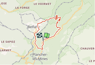

Length
12.6 km

Max alt
1042 m

Uphill gradient
598 m
Km-Effort
21 km

Min alt
493 m

Downhill gradient
598 m
Boucle
Yes
Creation date :
2018-04-17 20:06:14.236
Updated on :
2018-12-03 09:44:52.273
4h18
Difficulty : Difficult

FREE GPS app for hiking
 SityTrail
IGN / Geographical institutes
SityTrail Plus
The world is yours!
About
Trail Walking of 12.6 km to be discovered at Bourgogne-Franche-Comté, Haute-Saône, Plancher-les-Mines. This trail is proposed by benoit747.
Description
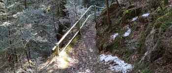
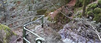
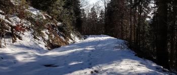
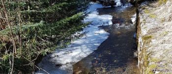
Belle randonnée
Grosse chaussures conseillées (surtout pour la descente dans la caillasse)
condition physique correcte pour les 600m de dénivellé
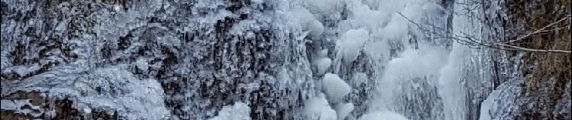
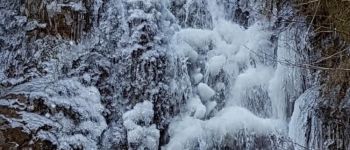
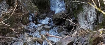
Photos


Positioning
Country:
France
Region :
Bourgogne-Franche-Comté
Department/Province :
Haute-Saône
Municipality :
Plancher-les-Mines
Location:
Unknown
Start:(Dec)
Start:(UTM)
330970 ; 5293293 (32T) N.
Comments