


Guadeloupe - La Soufriére

soca
User
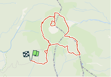

Length
8.3 km

Max alt
1456 m

Uphill gradient
691 m
Km-Effort
17.5 km

Min alt
965 m

Downhill gradient
691 m
Boucle
Yes
Creation date :
2018-04-17 20:21:47.404
Updated on :
2018-04-17 20:21:47.404
3h33
Difficulty : Difficult

FREE GPS app for hiking
 SityTrail
IGN / Geographical institutes
SityTrail Plus
The world is yours!
About
Trail Walking of 8.3 km to be discovered at Guadeloupe, Unknown, Saint-Claude. This trail is proposed by soca.
Positioning
Country:
France
Region :
Guadeloupe
Department/Province :
Unknown
Municipality :
Saint-Claude
Location:
Unknown
Start:(Dec)
Start:(UTM)
642300 ; 1773245 (20Q) N.
Comments