


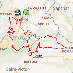

11.3 km | 16.7 km-effort


User


FREE GPS app for hiking
 SityTrail
IGN / Geographical institutes
SityTrail World
The world is yours!
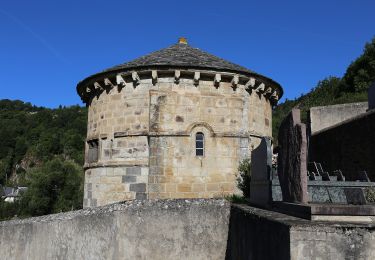
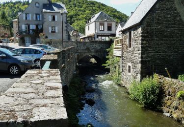
Trail Walking of 13.6 km to be discovered at Auvergne-Rhône-Alpes, Puy-de-Dôme, Murol. This trail is proposed by olibreizh.
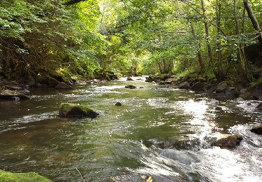
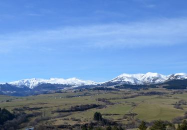
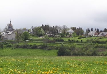
Au départ de Murol, une belle promenade autour du Puy de Bessolles avec de beaux points de vue sur le massif du Sancy. Retour par la plaine et tour forestier du Tartaret
Walking
Walking
Walking

Walking

Walking
On foot
On foot
On foot

On foot