


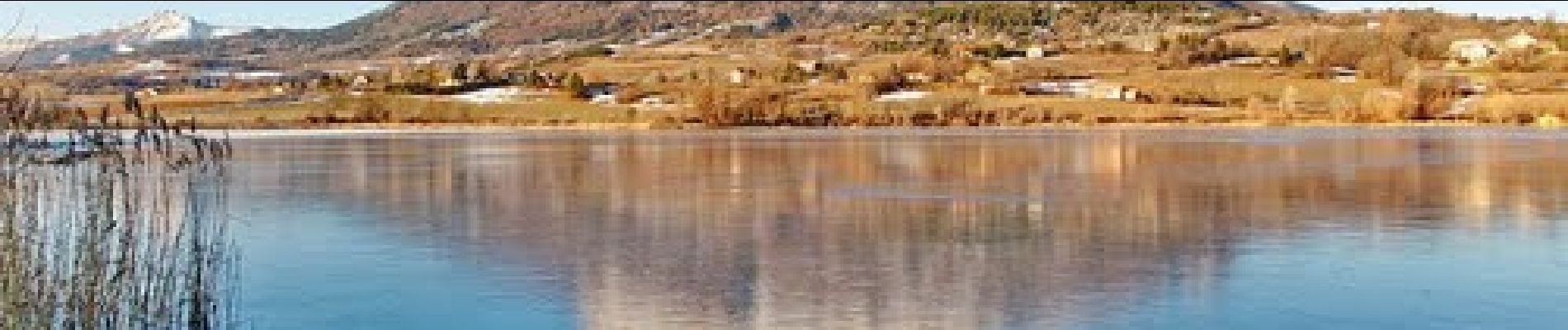
C08 - Céüse sur un plateau

Camping Les Rives du Lac
Les Hautes Alpes à découvrir ! GUIDE+


4h00
Difficulty : Medium

FREE GPS app for hiking
 SityTrail
IGN / Geographical institutes
SityTrail Plus
The world is yours!
About
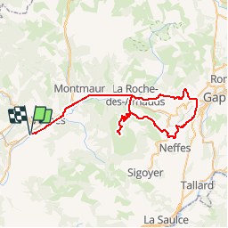
Trail Road bike of 70 km to be discovered at Provence-Alpes-Côte d'Azur, Hautes-Alpes, Veynes. This trail is proposed by Camping Les Rives du Lac.
Description
Beautiful view of Gap, the mountain of Céüse, with its rather rough climb!
The only downside for this hike is the traffic on a few kilometers around Gap and between La Roche des Arnauds and Veynes (9kms)
Photos

Positioning
Comments