


Sommet de l'aigre. a q

Sugg
User
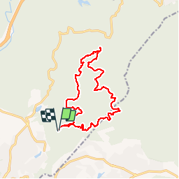

Length
16.1 km

Max alt
444 m

Uphill gradient
446 m
Km-Effort
22 km

Min alt
70 m

Downhill gradient
447 m
Boucle
Yes
Creation date :
2019-03-22 16:57:59.954
Updated on :
2019-03-22 16:58:00.276
6h13
Difficulty : Unknown

FREE GPS app for hiking
 SityTrail
IGN / Geographical institutes
SityTrail Plus
The world is yours!
About
Trail Other activity of 16.1 km to be discovered at Provence-Alpes-Côte d'Azur, Var, Fréjus. This trail is proposed by Sugg.
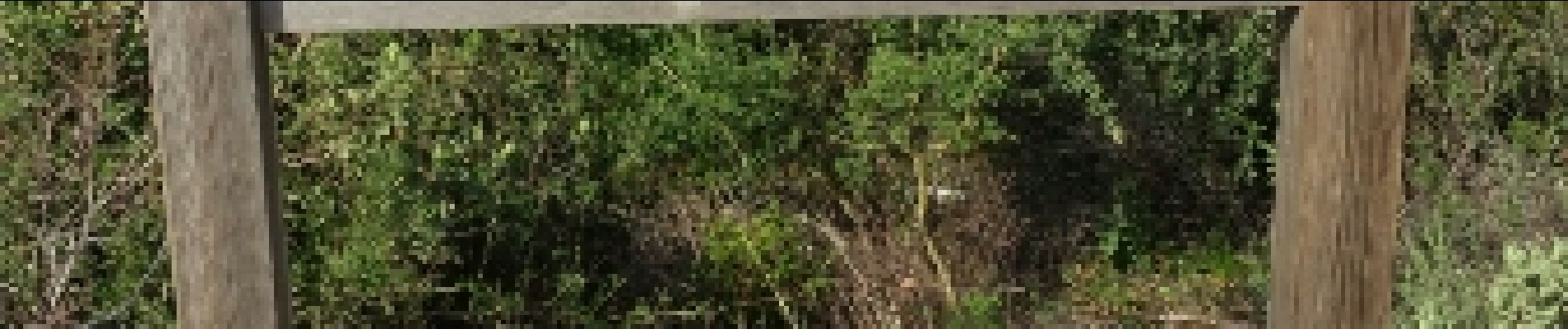
Photos


Positioning
Country:
France
Region :
Provence-Alpes-Côte d'Azur
Department/Province :
Var
Municipality :
Fréjus
Location:
Unknown
Start:(Dec)
Start:(UTM)
320531 ; 4814972 (32T) N.
Comments