


Baerenthal

VacheKiri67
User
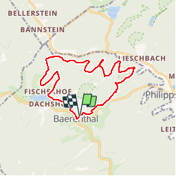

Length
14.4 km

Max alt
351 m

Uphill gradient
320 m
Km-Effort
18.7 km

Min alt
202 m

Downhill gradient
327 m
Boucle
Yes
Creation date :
2018-04-17 23:21:05.526
Updated on :
2018-04-17 23:21:05.526
4h22
Difficulty : Medium

FREE GPS app for hiking
 SityTrail
IGN / Geographical institutes
SityTrail Plus
The world is yours!
About
Trail Walking of 14.4 km to be discovered at Grand Est, Moselle, Baerenthal. This trail is proposed by VacheKiri67.
Description
Faite le 30/03/2018 avec notre fils Théo de 13 ans et nos amis régionaux de l'étape Eléonore et Bernard.
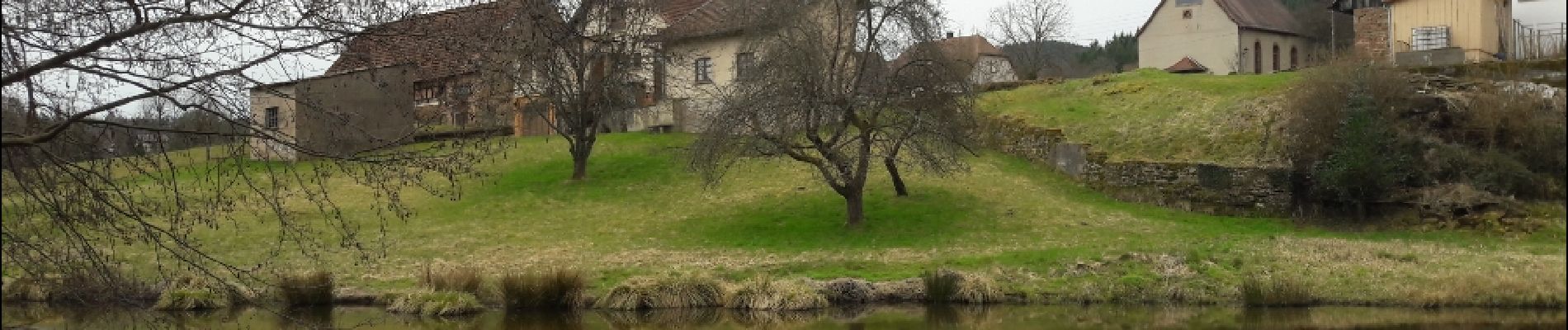
Photos


22 photos in total. Please click on a photo to see them all in the gallery.
Positioning
Country:
France
Region :
Grand Est
Department/Province :
Moselle
Municipality :
Baerenthal
Location:
Unknown
Start:(Dec)
Start:(UTM)
391729 ; 5425869 (32U) N.
Comments