


Aiguilles de Famourou

frizou83
User
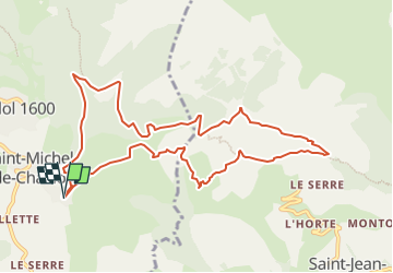

Length
11.2 km

Max alt
1715 m

Uphill gradient
512 m
Km-Effort
18 km

Min alt
1421 m

Downhill gradient
511 m
Boucle
Yes
Creation date :
2018-04-17 23:32:40.759
Updated on :
2024-04-06 13:31:47.21
4h05
Difficulty : Difficult

FREE GPS app for hiking
 SityTrail
IGN / Geographical institutes
SityTrail Plus
The world is yours!
About
Trail Walking of 11.2 km to be discovered at Provence-Alpes-Côte d'Azur, Hautes-Alpes, Saint-Michel-de-Chaillol. This trail is proposed by frizou83.
Positioning
Country:
France
Region :
Provence-Alpes-Côte d'Azur
Department/Province :
Hautes-Alpes
Municipality :
Saint-Michel-de-Chaillol
Location:
Unknown
Start:(Dec)
Start:(UTM)
275880 ; 4951106 (32T) N.
Comments