


croix des traverses

goizet
User
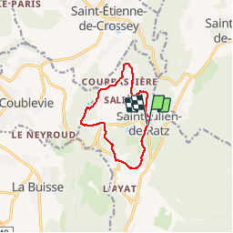

Length
9.7 km

Max alt
704 m

Uphill gradient
216 m
Km-Effort
12.6 km

Min alt
632 m

Downhill gradient
216 m
Boucle
Yes
Creation date :
2018-10-01 17:51:02.258
Updated on :
2019-08-04 08:28:49.457
3h27
Difficulty : Easy

FREE GPS app for hiking
 SityTrail
IGN / Geographical institutes
SityTrail Plus
The world is yours!
About
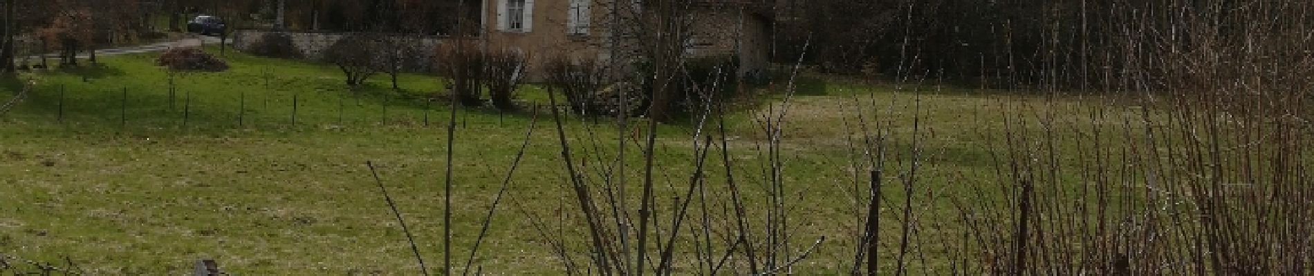
Trail Walking of 9.7 km to be discovered at Auvergne-Rhône-Alpes, Isère, La Sure en Chartreuse. This trail is proposed by goizet.
Photos


Positioning
Country:
France
Region :
Auvergne-Rhône-Alpes
Department/Province :
Isère
Municipality :
La Sure en Chartreuse
Location:
Unknown
Start:(Dec)
Start:(UTM)
708533 ; 5025280 (31T) N.
Comments