Trail Walking Bohars - Tour entre Penfeld et Tridour - Photo

Tour entre Penfeld et Tridour

Promenez-vous au bout du monde !

© OpenStreetMap contributors
Length
Length
8.4 km
Max alt
Max alt
85 m
Uphill gradient
Uphill gradient
116 m
Km-Effort
Km-Effort  
9.9 km
Min alt
Min alt
7 m
Downhill gradient
Downhill gradient
117 m
Boucle
Boucle
Yes
Creation date :
2018-07-06 09:45:12.46
Updated on :
2018-07-06 09:45:12.46

(0 Reviews)

Walking
Walking
2h11
Difficulty : Easy

Scan this QR Code to open this trail in the SityTrail application

FREE GPS app for hiking

Logo SityTrail SityTrail

IGN / Geographical institutes

Download SityTrail from the App Store Download SityTrail from Google Play

Logo SityTrail SityTrail World

The world is yours!

Download SityTrail from the App Store Download SityTrail from Google Play Download SityTrail on Huawei AppGallery

About

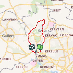
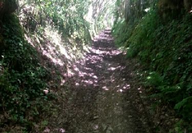
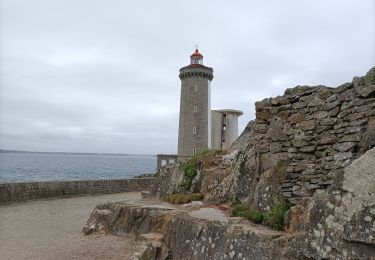
Trail Walking of 8.4 km to be discovered at Brittany, Finistère, Bohars. This trail is proposed by Balades en Finistère.

Description

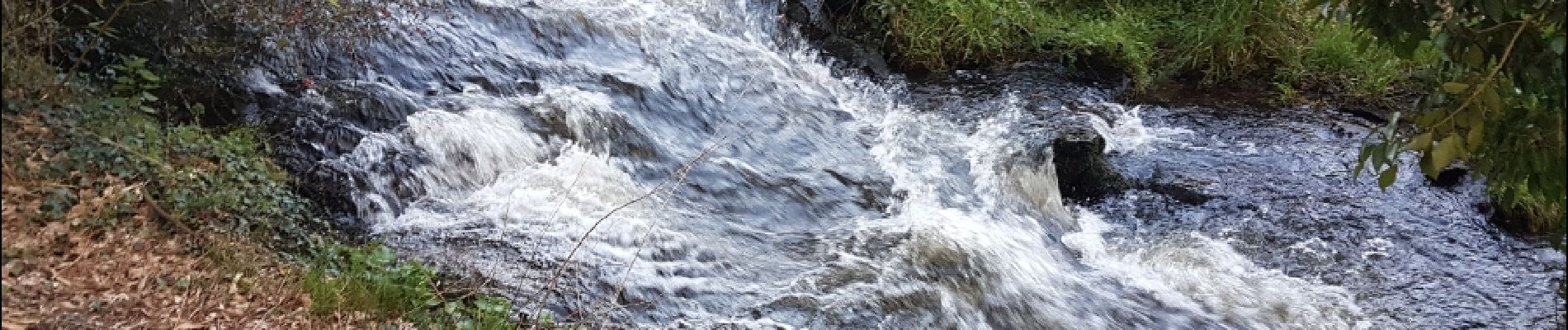
Au départ du coté nord du par des Rives de Penfeld, on remonte le petit ruisseau du Tridour que l'on quitte pour rejoindre le bourg de Bohars par sa motte Féodale. A la sortie du bourg, nous retrouvons la Penfeld que nous longerons pour revenir au point de départ

Elevation profile

Photos

Positioning

Country:
France
Region :
Brittany
Department/Province :
Finistère
Municipality :
Bohars
Location:
Unknown
Start:(UTM)
387186 ; 5363021 (30U) N.

Trails nearby

Trail Mountain bike Plouzané - Tournerre de Brest - Photo
Mountain bike
tracegps

Mountain bike

Difficult
(1)
Plouzané, Brittany, Finistère, France
50 km | 58 km-effort
4h 0min
Yes
Trail Mountain bike Bohars - Au fil de la Penfeld - Photo
Mountain bike
tracegps

Mountain bike

Medium
(1)
Bohars, Brittany, Finistère, France
20 km | 23 km-effort
1h 30min
Yes
Trail Nordic walking Brest - géant,  moulin blanc. neovan  - Photo
Nordic walking
alaincrt

Nordic walking

Easy
(1)
Brest, Brittany, Finistère, France
9.6 km | 11.7 km-effort
2h 24min
No
Trail Nordic walking Brest - Brest les quatres pompes - Photo
Nordic walking
elianette

Nordic walking

Very easy
(1)
Brest, Brittany, Finistère, France
21 km | 28 km-effort
5h 6min
Yes
Trail Walking Brest - BREST-Parcours de ville - Photo
Walking
mauricemear

Walking

Very easy
Brest, Brittany, Finistère, France
9.2 km | 11.5 km-effort
2h 30min
Yes
Trail Walking Brest - GR 34 étape 35 - Photo
Walking
lagardienne

Walking

Easy
Brest, Brittany, Finistère, France
29 km | 36 km-effort
8h 0min
No
Trail Walking Brest - De Lambézellec à Gouesnou - Photo
Walking
tracegps

Walking

Easy
Brest, Brittany, Finistère, France
7 km | 8 km-effort
1h 45min
No
Trail Walking Brest - De Brest à Plabennec - Photo
Walking
tracegps

Walking

Very difficult
Brest, Brittany, Finistère, France
20 km | 24 km-effort
5h 0min
No
Trail Nordic walking Brest - les quatre pompes - Photo
Nordic walking
elianette

Nordic walking

Very easy
Brest, Brittany, Finistère, France
22 km | 29 km-effort
4h 55min
Yes


Close
My subscriptions