


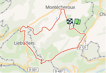

14.5 km | 22 km-effort


User


FREE GPS app for hiking
 SityTrail
IGN / Geographical institutes
SityTrail World
The world is yours!
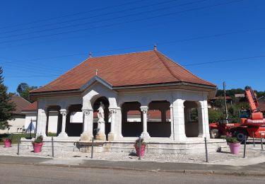
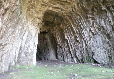
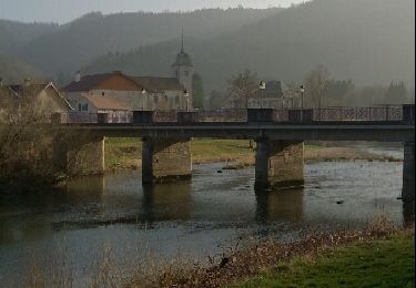
Trail Walking of 10.6 km to be discovered at Bourgogne-Franche-Comté, Doubs, Montécheroux. This trail is proposed by margotte.
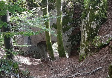
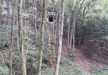
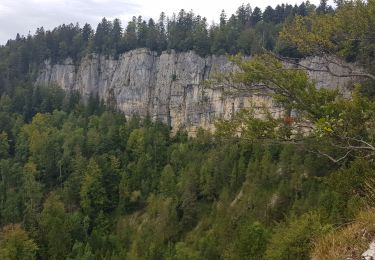
à la rencontre des premières fleurs printanière et, comme les feuilles ne sont encore pas présente, nous avons de belles vues sur la vallée du Doubs


Walking
Mountain bike

Walking
Walking
Mountain bike

Walking

Walking
Running
Walking