


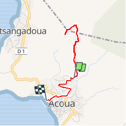


4.1 km | 7.9 km-effort

User


FREE GPS app for hiking
 SityTrail
IGN / Geographical institutes
SityTrail World
The world is yours!
Trail Walking of 4.4 km to be discovered at Mayotte, Unknown, Acoua. This trail is proposed by Roulland.
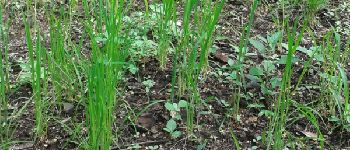
rando orange, citron, vanille, gingembre etc


Walking
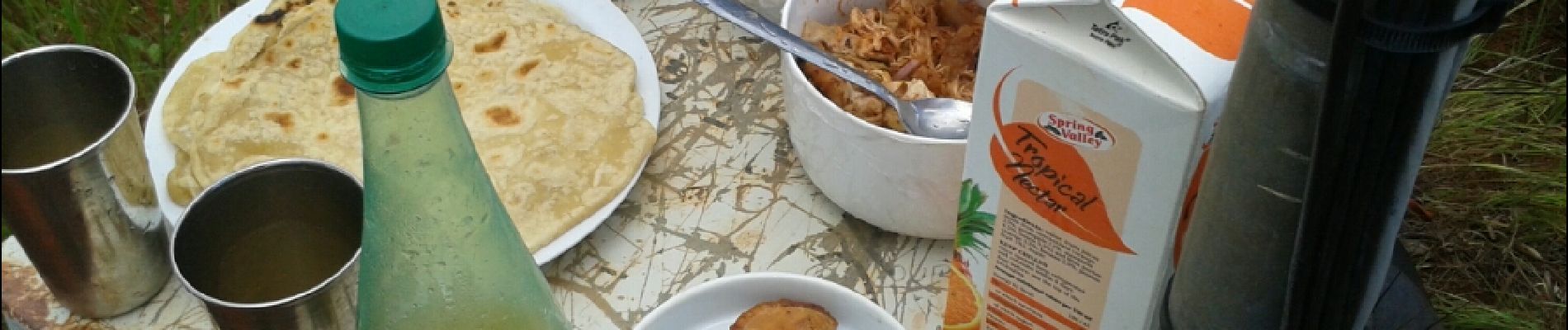
Merci pour cette randonnée avec photos !