


velo20180415

robertserre
User
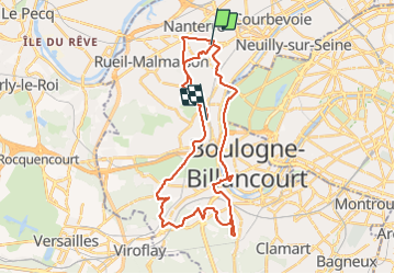

Length
38 km

Max alt
177 m

Uphill gradient
600 m
Km-Effort
46 km

Min alt
11 m

Downhill gradient
582 m
Boucle
No
Creation date :
2018-04-18 00:36:45.609
Updated on :
2018-04-18 00:36:45.609
4h15
Difficulty : Very easy

FREE GPS app for hiking
 SityTrail
IGN / Geographical institutes
SityTrail Plus
The world is yours!
About
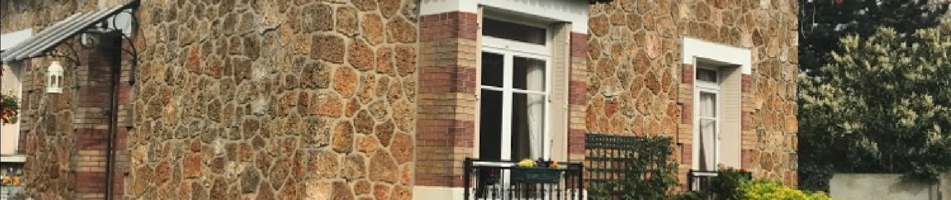
Trail Cycle of 38 km to be discovered at Ile-de-France, Hauts-de-Seine, Nanterre. This trail is proposed by robertserre.
Photos

Positioning
Country:
France
Region :
Ile-de-France
Department/Province :
Hauts-de-Seine
Municipality :
Nanterre
Location:
Unknown
Start:(Dec)
Start:(UTM)
442643 ; 5414960 (31U) N.
Comments