Trail Walking Charleroi - Balade de Marchienne-au-Pont à Charleroi - Photo

Balade de Marchienne-au-Pont à Charleroi

 Desrumaux
Desrumaux

User GUIDE

© OpenStreetMap contributors
Length
Length
12.8 km
Max alt
Max alt
160 m
Uphill gradient
Uphill gradient
222 m
Km-Effort
Km-Effort  
15.8 km
Min alt
Min alt
96 m
Downhill gradient
Downhill gradient
221 m
Boucle
Boucle
Yes
Creation date :
2018-06-26 11:00:45.633
Updated on :
2018-06-26 11:00:45.633

(3 Reviews)

Walking
Walking
3h23
Difficulty : Medium

Scan this QR Code to open this trail in the SityTrail application

FREE GPS app for hiking

Logo SityTrail SityTrail

IGN / Geographical institutes

Download SityTrail from the App Store Download SityTrail from Google Play

Logo SityTrail SityTrail World

The world is yours!

Download SityTrail from the App Store Download SityTrail from Google Play Download SityTrail on Huawei AppGallery

About

Trail Walking of 12.8 km to be discovered at Wallonia, Hainaut, Charleroi. This trail is proposed by Desrumaux.

Description

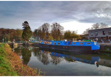
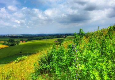
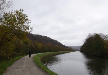
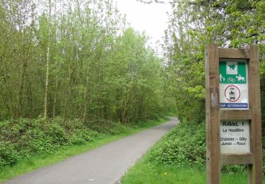
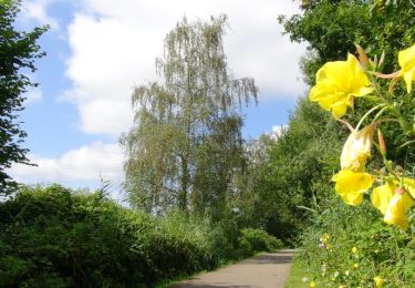
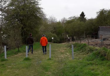
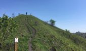
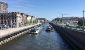
Cette balade est une version raccourcie de la boucle noire du GR 412.Cette balade offre des paysages contrastés mais tous marqués par l’industrie minière et sidérurgique.
Le circuit que je vous présente ici prend son départ à Marchienne-au-Pont, la rue du Grand Central à Charleroi ou la rue du chemin de fer à Marchienne-au-Pont (départ des 2 promenades locales balisées rectangle jaune 1,1 km et rectangle rouge 4,9 km.

Elevation profile

Photos

Points of interest

Point of interest Charleroi - Charleroi - Photo
Desrumaux
CHARLEROI 
Point of interest Charleroi - Charleroi - Photo
Desrumaux
CHARLEROI 
Point of interest Charleroi - Charleroi - Photo
Desrumaux
CHARLEROI 
Point of interest Charleroi - Charleroi - Photo
Desrumaux
CHARLEROI 
Point of interest Charleroi - Charleroi - Photo
Desrumaux
CHARLEROI 

Positioning

Country:
Belgium
Region :
Wallonia
Department/Province :
Hainaut
Municipality :
Charleroi
Location:
Marchienne-au-Pont
Start:(UTM)
599022 ; 5584717 (31U) N.

Comments

Please log in to post a review or rate the element


Trails nearby

Trail Walking Gerpinnes - La promenade des Lacs de Loverval - Photo
Walking
GUIDE
Desrumaux

Walking

Easy
(7)
Gerpinnes, Wallonia, Hainaut, Belgium
8.5 km | 10.6 km-effort
2h 10min
Yes
Trail Walking Montigny-le-Tilleul - A la découverte des sentes et venelles de Montigny-le-Tilleul - Photo
Walking
GUIDE
Desrumaux

Walking

Easy
(6)
Montigny-le-Tilleul, Wallonia, Hainaut, Belgium
7.8 km | 9.9 km-effort
2h 0min
Yes
Trail Walking Fontaine-l'Évêque - de l'Abbaye d'Aulne au hameau de Hourpes - Thuin - Photo
Walking
GUIDE
Desrumaux

Walking

Very easy
(2)
Fontaine-l'Évêque, Wallonia, Hainaut, Belgium
8.7 km | 10.9 km-effort
3h 16min
Yes
Trail Walking Fontaine-l'Évêque - Balade à Fontaine l'Evêque - Photo
Walking
GUIDE
Desrumaux

Walking

Easy
(5)
Fontaine-l'Évêque, Wallonia, Hainaut, Belgium
7.9 km | 9.6 km-effort
2h 6min
Yes
Trail Walking Montigny-le-Tilleul - Balade en Val de Sambre - De Landelies à l'Abbaye d'Aulne  - Photo
Walking
GUIDE
Desrumaux

Walking

Very easy
(1)
Montigny-le-Tilleul, Wallonia, Hainaut, Belgium
6.6 km | 8 km-effort
1h 49min
Yes
Trail Walking Charleroi - La Promenade du Bois de Heigne - Photo
Walking
GUIDE
Desrumaux

Walking

Very easy
(4)
Charleroi, Wallonia, Hainaut, Belgium
6.8 km | 8.5 km-effort
1h 52min
Yes
Trail Walking Charleroi - Balade à Monceau-sur-Sambre - Photo
Walking
GUIDE
Desrumaux

Walking

Very easy
(4)
Charleroi, Wallonia, Hainaut, Belgium
8.9 km | 10.7 km-effort
2h 21min
Yes
Trail Walking Charleroi - RB-HA-06 - Le poumon vert du Pays Noir - Photo
Walking
PRO

Walking

Very difficult
(4)
Charleroi, Wallonia, Hainaut, Belgium
21 km | 26 km-effort
5h 58min
Yes
Trail Walking Charleroi - Terrils 1. dép rue chemin de fer,39.Marchienne - Photo
Walking
ELISECRO

Walking

Difficult
(1)
Charleroi, Wallonia, Hainaut, Belgium
5.1 km | 6.4 km-effort
1h 43min
Yes


Close
My subscriptions