Trail Walking Unknown - Wadi Rum J4 - Photo

Wadi Rum J4

 philcll
philcll

User

© OpenStreetMap contributors
Length
Length
8.6 km
Max alt
Max alt
1138 m
Uphill gradient
Uphill gradient
157 m
Km-Effort
Km-Effort  
11.1 km
Min alt
Min alt
944 m
Downhill gradient
Downhill gradient
281 m
Boucle
Boucle
No
Creation date :
2018-06-26 11:01:18.935
Updated on :
2018-06-26 11:01:18.935

(0 Reviews)

Walking
Walking
2h13
Difficulty : Easy

Scan this QR Code to open this trail in the SityTrail application

FREE GPS app for hiking

Logo SityTrail SityTrail

IGN / Geographical institutes

Download SityTrail from the App Store Download SityTrail from Google Play

Logo SityTrail SityTrail World

The world is yours!

Download SityTrail from the App Store Download SityTrail from Google Play Download SityTrail on Huawei AppGallery

About

Trail Walking of 8.6 km to be discovered at Aqaba. This trail is proposed by philcll.

Description

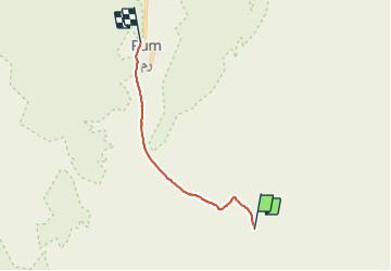
retour du bivouac N°3 (Grande dune rouge) au village de Rum

Elevation profile

Positioning

Country:
Jordan
Region :
Aqaba
Department/Province :
Unknown
Municipality :
Unknown
Location:
Unknown
Start:(UTM)
737994 ; 3268738 (36R) N.

Trails nearby

Trail Walking  - Wadi Rum J2 - Photo
Walking
philcll

Walking

Medium
, Aqaba, , Jordan
16.2 km | 23 km-effort
4h 57min
No
Trail Walking  - jordanie_2016-04-27.gpx - Photo
Walking
georgein

Walking

Very easy
, Aqaba, , Jordan
12.4 km | 16.3 km-effort
Unknown
No


Close
My subscriptions