


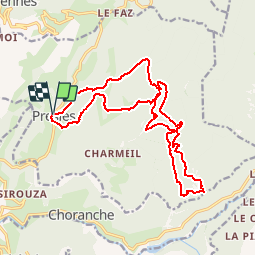

10.1 km | 22 km-effort


User


FREE GPS app for hiking
 SityTrail
IGN / Geographical institutes
SityTrail World
The world is yours!
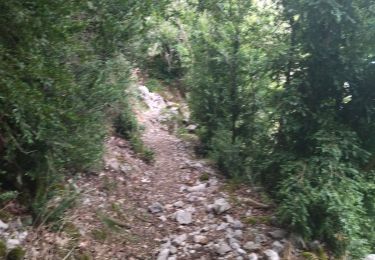
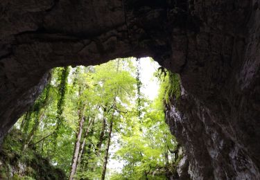
Trail Walking of 18.8 km to be discovered at Auvergne-Rhône-Alpes, Isère, Presles. This trail is proposed by popo38.
Au départ de Presles, vers la fontaine de Pétouze, la grotte de Pré l'étang, Beauregard, la Goulandière

Walking

Walking

Walking
Walking
Walking
Mountain bike
Walking
Walking
Walking