


gpx trace 7

boudatadec
User
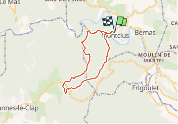

Length
12.3 km

Max alt
319 m

Uphill gradient
331 m
Km-Effort
16.7 km

Min alt
85 m

Downhill gradient
331 m
Boucle
Yes
Creation date :
2018-06-26 11:19:15.186
Updated on :
2018-06-26 11:19:15.186
--
Difficulty : Easy

FREE GPS app for hiking
 SityTrail
IGN / Geographical institutes
SityTrail Plus
The world is yours!
About
Trail Walking of 12.3 km to be discovered at Occitania, Gard, Montclus. This trail is proposed by boudatadec.
Positioning
Country:
France
Region :
Occitania
Department/Province :
Gard
Municipality :
Montclus
Location:
Unknown
Start:(Dec)
Start:(UTM)
613361 ; 4901997 (31T) N.
Comments