


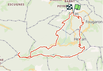

13.2 km | 23 km-effort


User


FREE GPS app for hiking
 SityTrail
IGN / Geographical institutes
SityTrail World
The world is yours!
Trail Running of 26 km to be discovered at Occitania, Haute-Garonne, Arbas. This trail is proposed by Polo-31.
Arbas, Herran, Croix de Guéret, Cornudère, Paloumère, Roque Pi, Fontaine de l'ours, Plan de Gaule, Arbas.
Walking
Walking
Walking
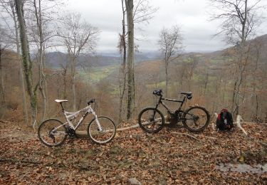
Mountain bike
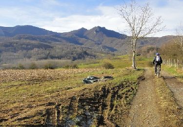
Mountain bike
Mountain bike

Mountain bike
Mountain bike

Mountain bike