


Levinhac le Haut Figeac Avril 2018

Kargil
User GUIDE


Length
24 km

Max alt
417 m

Uphill gradient
522 m
Km-Effort
31 km

Min alt
191 m

Downhill gradient
538 m
Boucle
No
Creation date :
2018-06-18 20:29:25.172
Updated on :
2018-06-18 20:29:25.172
6h27
Difficulty : Medium

FREE GPS app for hiking
 SityTrail
IGN / Geographical institutes
SityTrail Plus
The world is yours!
About
Trail Walking of 24 km to be discovered at Occitania, Aveyron, Livinhac-le-Haut. This trail is proposed by Kargil.
Description
11ème Etape depuis Le Puy
Photos


Positioning
Country:
France
Region :
Occitania
Department/Province :
Aveyron
Municipality :
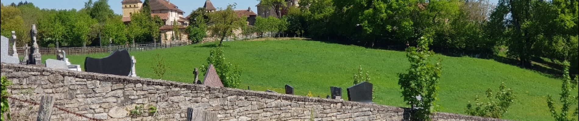
Livinhac-le-Haut
Location:
Unknown
Start:(Dec)
Start:(UTM)
438995 ; 4937855 (31T) N.
Comments