


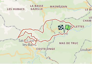

14.3 km | 25 km-effort


FREE GPS app for hiking
 SityTrail
IGN / Geographical institutes
SityTrail World
The world is yours!
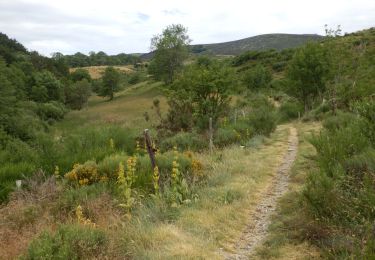
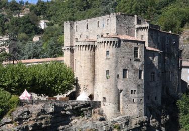
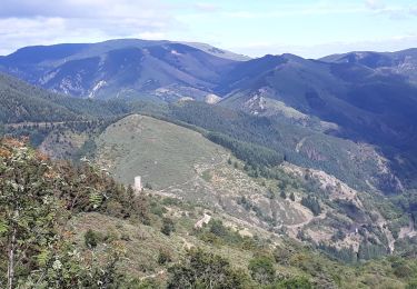
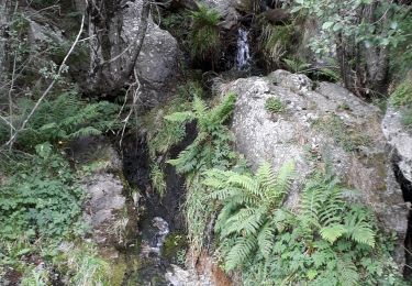
Trail Walking of 19.5 km to be discovered at Auvergne-Rhône-Alpes, Ardèche, Borne. This trail is proposed by maxime.ranchin@aliceadsl.fr.
Walking
Walking
Walking
Walking
On foot

Walking
Walking
Walking
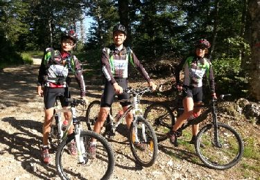
Mountain bike
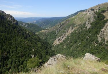
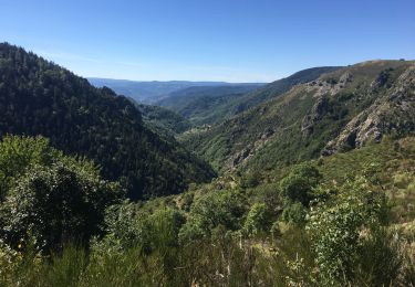
le tour ne fais pas20km mais plutot 30 /35km plus pour randonneur sportif mais de tres belle vue