


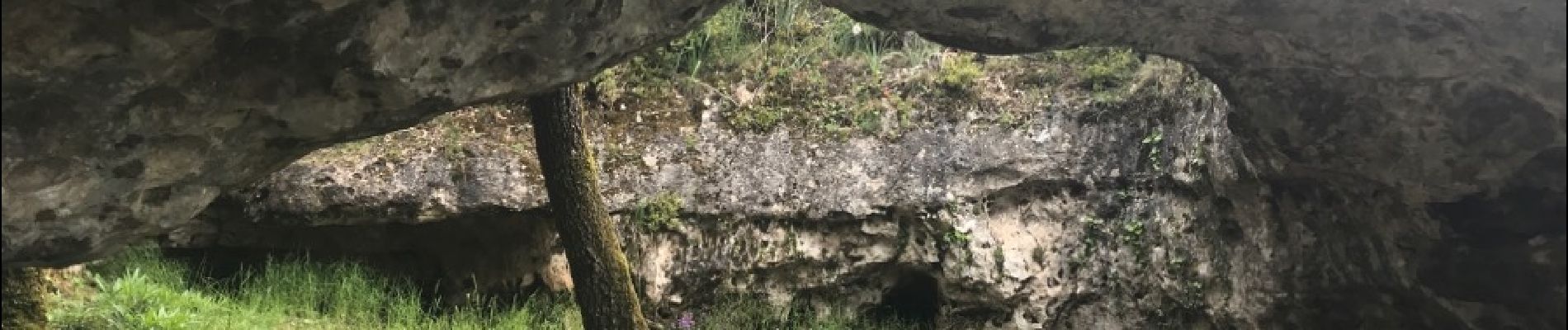
canoles du Larzac

daniel34
User
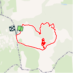

Length
10.6 km

Max alt
757 m

Uphill gradient
147 m
Km-Effort
12.5 km

Min alt
676 m

Downhill gradient
145 m
Boucle
Yes
Creation date :
2018-06-26 14:13:10.365
Updated on :
2018-06-26 14:13:10.365
5h25
Difficulty : Easy

FREE GPS app for hiking
 SityTrail
IGN / Geographical institutes
SityTrail Plus
The world is yours!
About
Trail Walking of 10.6 km to be discovered at Occitania, Aveyron, Nant. This trail is proposed by daniel34.
Photos


Positioning
Country:
France
Region :
Occitania
Department/Province :
Aveyron
Municipality :
Nant
Location:
Unknown
Start:(Dec)
Start:(UTM)
518937 ; 4869454 (31T) N.
Comments