


17 km | 20 km-effort

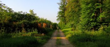
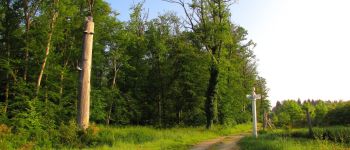
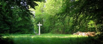
mes randos en forêt


FREE GPS app for hiking
 SityTrail
IGN / Geographical institutes
SityTrail World
The world is yours!
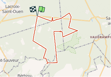
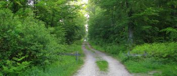
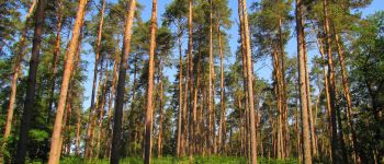
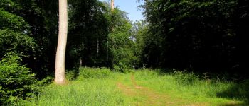
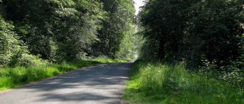
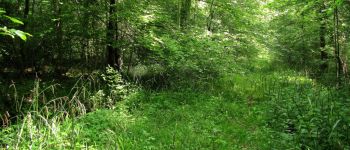
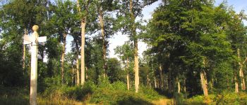
Trail Walking of 17.1 km to be discovered at Hauts-de-France, Oise, Lacroix-Saint-Ouen. This trail is proposed by en forêt de Compiègne.
05/ 2018
voir aussi:
http://foret-de-compiegne.over-blog.com/
batterie de recharge pour iphone obligatoire.
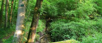
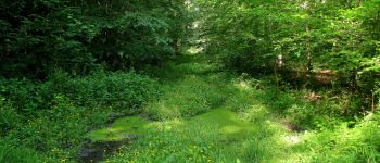
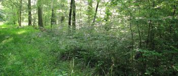
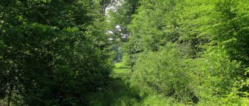
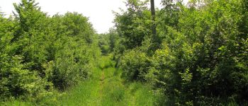
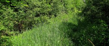
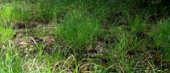
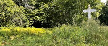
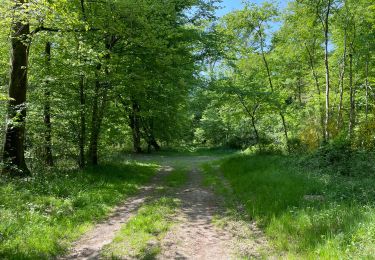
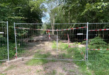
Parti pour classer cette rando en difficulté moyenne mais devenue très difficile à partir de la route des Grueries près du carrefour Desbouis jusqu'à l'arrivée (sauf par endroit, GR655 et route de l'étang St-Jean). Boue de glaise cachée sous des herbes très hautes: merci mes chaussures hautes et le bâton. A 1cm près, de la boue dans les chaussures ...
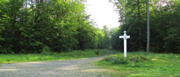
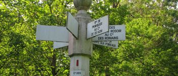
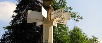
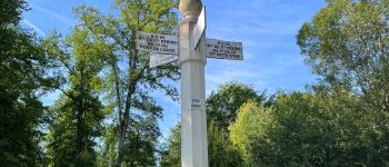
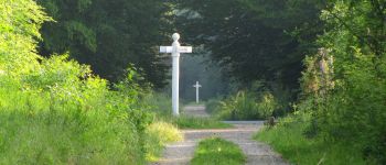
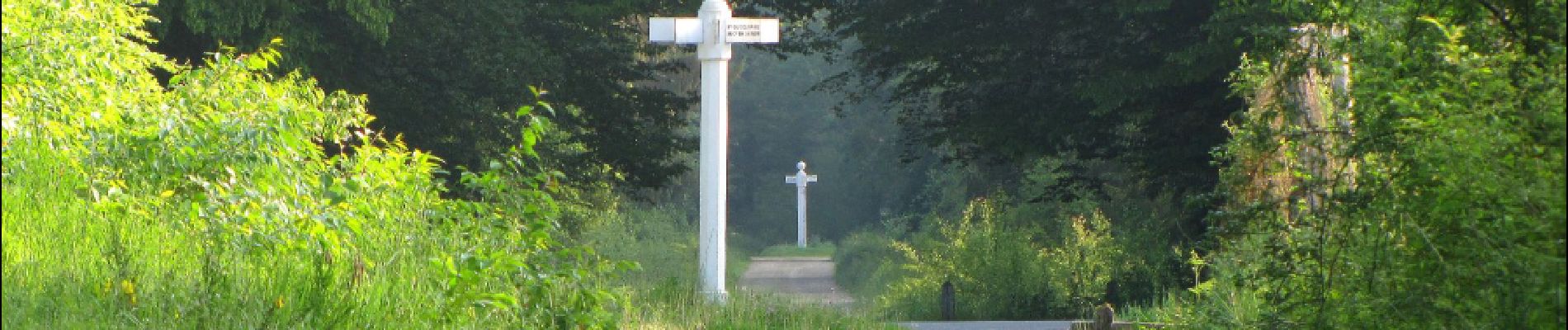
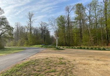
Au départ du carrefour de la Grande Patte d'Oie, suivre la route de Béthisy jusqu'au carrefour avec la route des Molineaux. Prendre à gauche
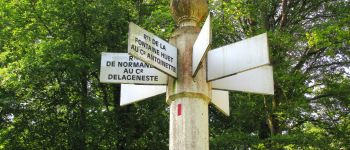
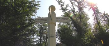
la route des Molineaux jusqu'au carrefour avec la route de la Sente aux Poireaux. La suivre à gauche et continuer jusqu'au carrefour avec la route de la Fontaine Saint-Jean. Tourner à gauche à ce carrefour et continuer jusqu'au lieu-dit "Le Hazoy". Suivre la route des Grands Monts jusqu'au carrefour des Grueries. Tourner à gauche dans la route des Grueries et la suivre jusqu'au carrefour de la Hideuse. Tourner à droite dans la route de Normandie et continuer jusqu'au carrefour Delageneste (très difficile). Prendre à droite la route de Champlieu et continuer jusqu'au carrefour du Maupas. Tourner à gauche dans la route de l'étang St-Jean et la suivre jusqu'au carrefour de la Michelette. Prendre à gauche la route de la Michelette jusqu'au carrefour de la Place aux Veaux (très difficile). Prendre à droite la route la Place aux Veaux puis tourner à gauche au carrefour avec la route des Eluats. Aller jusqu'au carrefour Hebé et tourner à gauche dans la route du Contrôleur. Continuer jusqu'au carrefour du Pont de l'Auge (très difficile). Suivre la route de la Volière jusqu'au carrefour avec la route des Grueries (très difficile). La prendre à droite et aller jusqu'au carrefour du Hibou (très difficile). Revenir à gauche dans la route du Boquet Gras jusqu'au carrefour du Boquet Gras (très difficile). Tourner à droite dans la route de la Michelette et continuer jusqu'au point de départ (difficile).


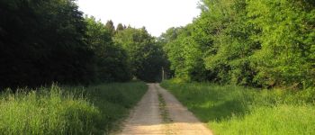
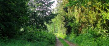
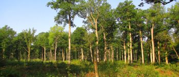
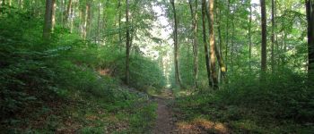
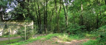
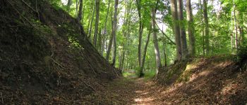
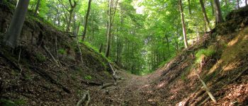
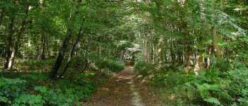
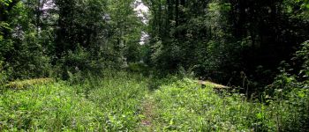
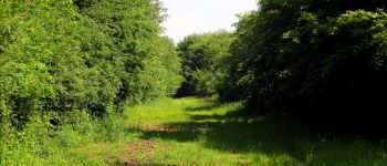
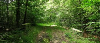
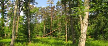
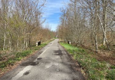
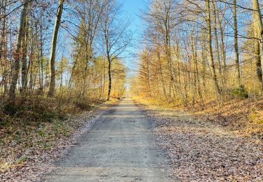
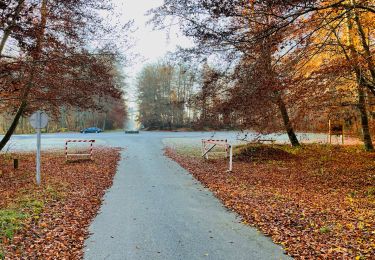
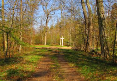
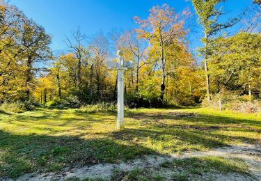
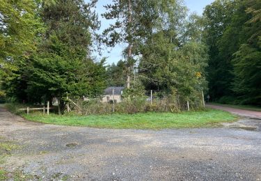
126 photos in total. Please click on a photo to see them all in the gallery.
Walking
Walking
Walking
Walking
Walking
Walking
Walking
Walking
Walking