


j3 bon temps sgmo 36k515

ophness
User
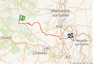

Length
36 km

Max alt
585 m

Uphill gradient
792 m
Km-Effort
48 km

Min alt
178 m

Downhill gradient
1009 m
Boucle
No
Creation date :
2018-06-26 15:01:49.839
Updated on :
2018-06-26 15:01:49.839
9h38
Difficulty : Unknown

FREE GPS app for hiking
 SityTrail
IGN / Geographical institutes
SityTrail Plus
The world is yours!
About
Trail Other activity of 36 km to be discovered at Auvergne-Rhône-Alpes, Rhône, Ternand. This trail is proposed by ophness.
Positioning
Country:
France
Region :
Auvergne-Rhône-Alpes
Department/Province :
Rhône
Municipality :
Ternand
Location:
Unknown
Start:(Dec)
Start:(UTM)
616512 ; 5089166 (31T) N.
Comments