Randoguide

patbt
User
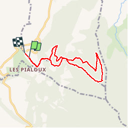

Length
7.6 km

Max alt
566 m

Uphill gradient
265 m
Km-Effort
11.1 km

Min alt
314 m

Downhill gradient
278 m
Boucle
Yes
Creation date :
2014-12-10 00:00:00.0
Updated on :
2014-12-10 00:00:00.0
2h05
Difficulty : Very easy

FREE GPS app for hiking
 SityTrail
IGN / Geographical institutes
SityTrail Plus
The world is yours!
About
Trail Walking of 7.6 km to be discovered at Auvergne-Rhône-Alpes, Drôme, Barcelonne. This trail is proposed by patbt.
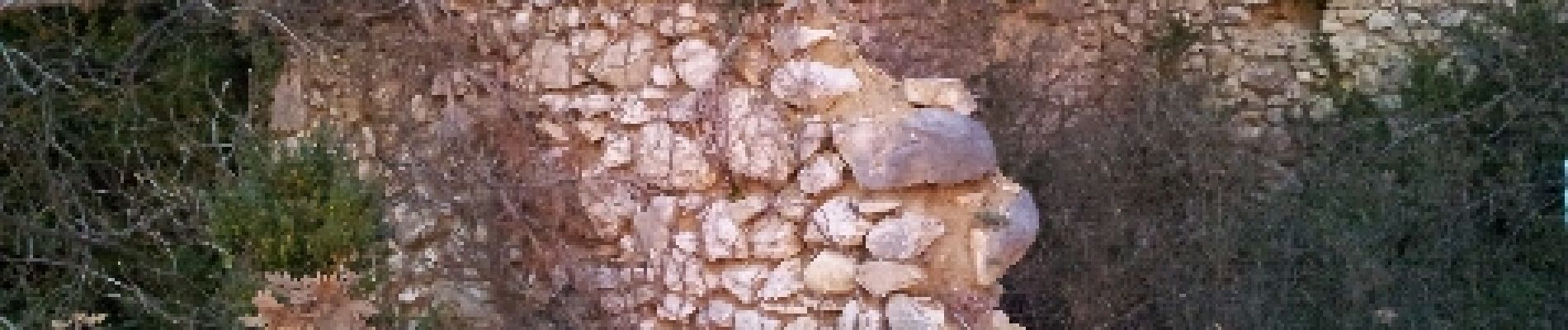
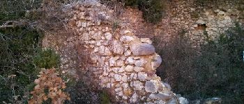
Photos


Positioning
Country:
France
Region :
Auvergne-Rhône-Alpes
Department/Province :
Drôme
Municipality :
Barcelonne
Location:
Unknown
Start:(Dec)
Start:(UTM)
661407 ; 4968574 (31T) N.
Comments