


Calf Creek

raymondfn
User
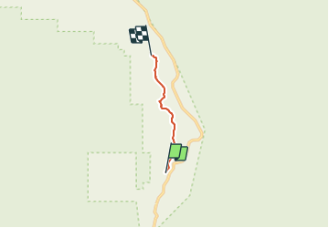

Length
4.7 km

Max alt
1742 m

Uphill gradient
182 m
Km-Effort
6.9 km

Min alt
1632 m

Downhill gradient
107 m
Boucle
No
Creation date :
2018-06-26 15:22:42.667
Updated on :
2018-06-26 15:22:42.667
1h46
Difficulty : Easy

FREE GPS app for hiking
 SityTrail
IGN / Geographical institutes
SityTrail Plus
The world is yours!
About
Trail Walking of 4.7 km to be discovered at Utah, Garfield County. This trail is proposed by raymondfn.
Description
A Capitol Reef
Positioning
Country:
United States
Region :
Utah
Department/Province :
Garfield County
Municipality :
Calf Creek Recreation Area
Location:
Unknown
Start:(Dec)
Start:(UTM)
463477 ; 4183038 (12S) N.
Comments