


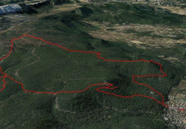
14.8 km | 22 km-effort

User GUIDE


FREE GPS app for hiking
 SityTrail
IGN / Geographical institutes
SityTrail World
The world is yours!
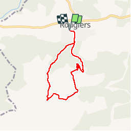
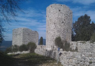
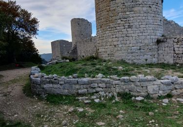
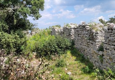
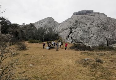
Trail Walking of 6.9 km to be discovered at Provence-Alpes-Côte d'Azur, Var, Rougiers. This trail is proposed by amiral13.
ballade agréable en grande partie en sous-bois.
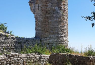
A la descente la visite de l'ancien hameau utilise un sentier un peu plus scabreux.
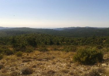
Au niveau du point 3 vous pouvez prendre à gauche pr rallier plus directement la chapelle par des sentes qui longent des barres rocheuses.


Walking
Mountain bike
Walking
Walking
Walking
Walking
Walking
Walking
Walking