


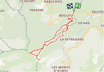

15.3 km | 31 km-effort

User


FREE GPS app for hiking
 SityTrail
IGN / Geographical institutes
SityTrail World
The world is yours!
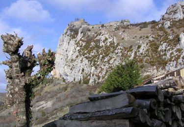
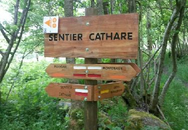
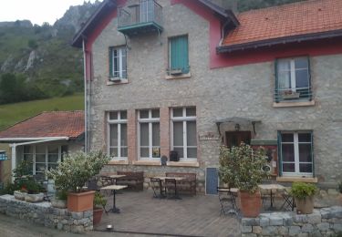
Trail Walking of 20 km to be discovered at Occitania, Ariège, Freychenet. This trail is proposed by jopost.
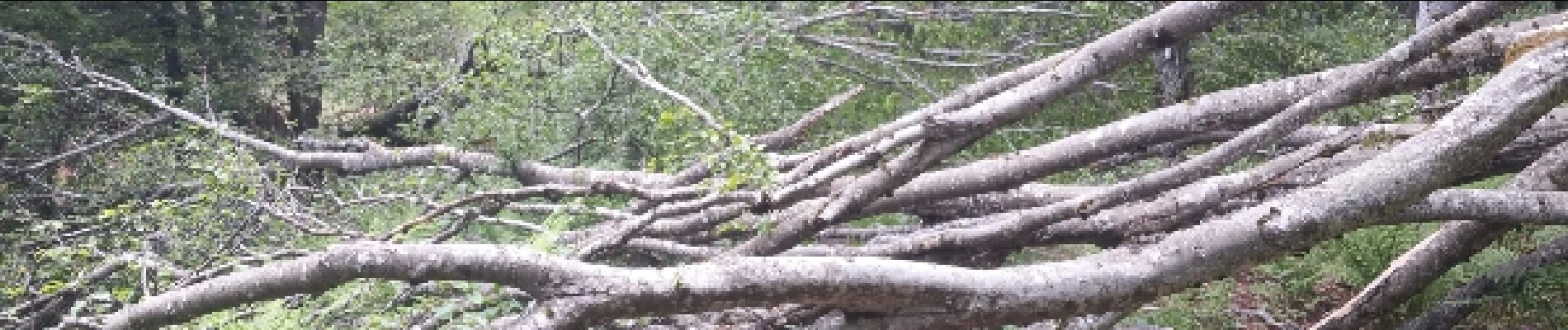
Départ du col de la Lauze pour l'estive du Fourcat avec les moutons, arrivé au refuge de Coulobre, continuons vers le mont Fourcat en passant par la cabane de la Lauzate 1883m puis direction le Mont Fourcat à 2001m . poussons jusqu'au Terbèzes 1973m avant de redescendre.
 - Photo 1")

Walking
Walking
On foot

Walking

Walking
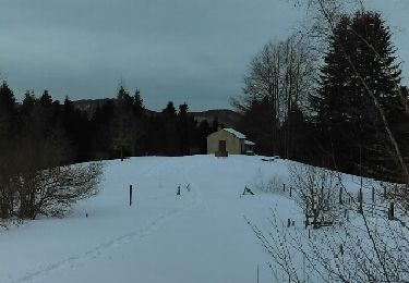
Snowshoes
Walking
Coupling